Seaport · Brazil
VitoriaBRVIX
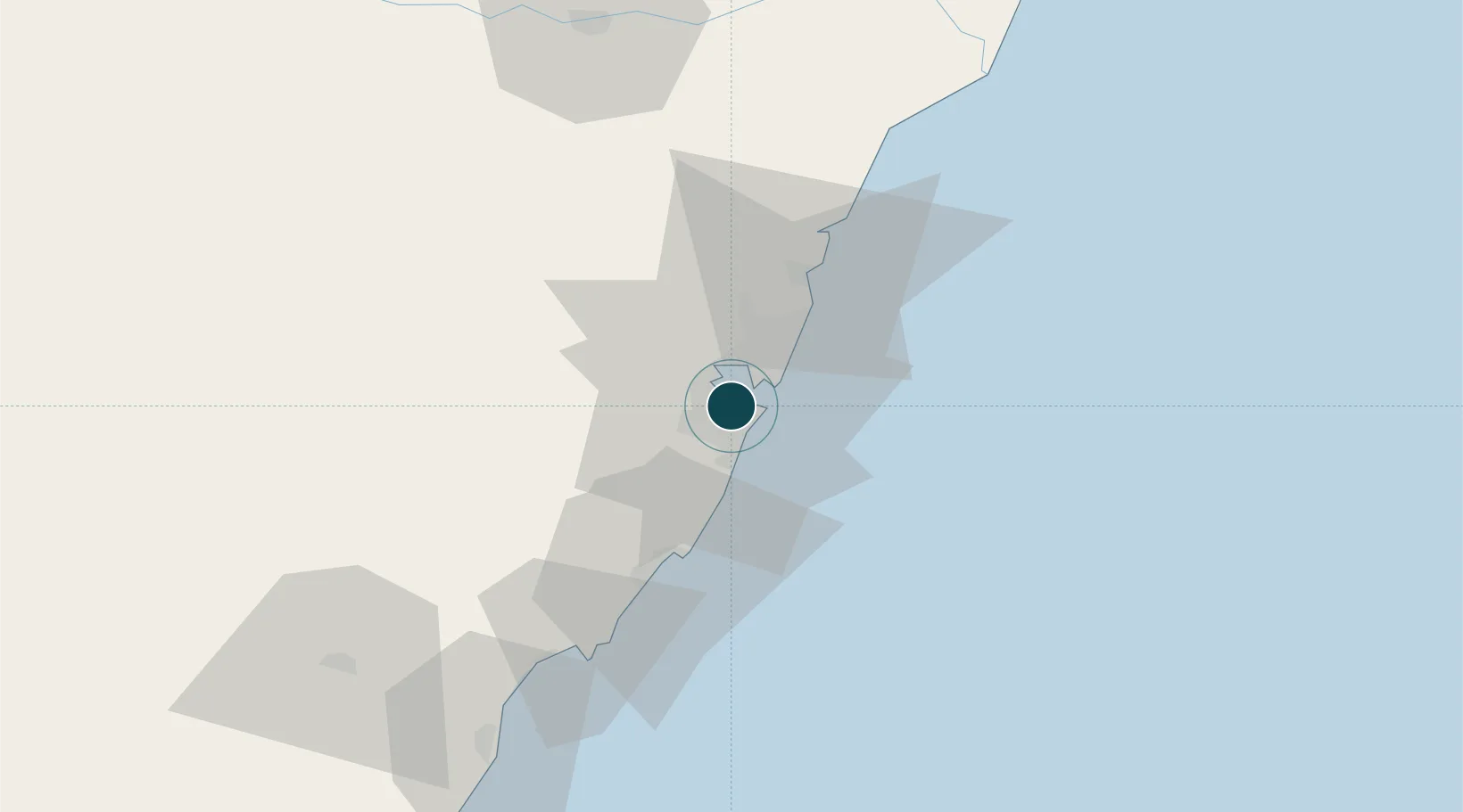
-20.3167°, -40.3333°
9.4 m
Channel depth
1
Container terminals
22.0
Port liner connectivity
Channel & Berth Profile
Pilotage, Tugs & Services
Pilotage compulsoryYES
Pilotage availableYES
Pilotage advisableYES
Tug assistanceYES
Potable waterYES
MedicalYES
Facilities & Capabilities
Container—
Ro-Ro—
Liquid bulk—
Dry bulk—
Oil terminal—
Break bulk—
Dry dock—
RepairsNO
BunkeringYES
Rail linkYES
Dangerous cargo—
ISPS security—
Harbour Specifications
Harbour size
Medium
Harbour type
River (Natural)
Shelter
Excellent
Water body
South Atlantic Ocean
Tidal range
1 m
Overhead limit
Yes
Pilotage
Yes
Liner Connectivity
22
PLSCI
Port Liner Shipping Connectivity Index for Vitoria, as published by UNCTAD for the latest available quarter. Higher values indicate stronger scheduled liner-shipping integration.
Shown relative to the highest per-port PLSCI in the dataset (1,657.9).
Location
Container Terminals · 1
TERMINAL DE VILA VELHA SA
TDVV
Nearby Logistics Neighbours
Ports
- 1Tubarao9 km
- 2Macae272 km
- 3Porto Do Forno342 km
- 4Niteroi405 km
- 5Rio De Janeiro410 km
Cities
- 1Vila Velha6 km
- 2Cariacica6 km
- 3Praia Mole Pt / Vitória12 km
- 4Tubarão Pt / Vitória13 km
- 5Serra20 km
Airports
Trade Zones
- 1ZPE de Aracruz (ES)70 km
- 2ZPE do Açú (RJ)184 km
- 3ZPE de Teófilo Otoni (MG)298 km
- 4ZPE de Itaguaí (RJ)458 km
- 5Zona Franca Ilhéus (BA)647 km
DatabookThe Record of Consolidated Knowledge
Brazil beyond logistics?