Channel & Berth Profile
Pilotage, Tugs & Services
Pilotage compulsoryYES
Pilotage availableYES
Tug assistanceYES
Potable waterYES
Diesel bunkersYES
MedicalYES
Garbage disposalYES
Facilities & Capabilities
Container—
Ro-Ro—
Liquid bulk—
Dry bulk—
Oil terminal—
Break bulk—
Dry dock—
RepairsNO
BunkeringYES
Rail linkYES
Dangerous cargo—
ISPS security—
Harbour Specifications
Harbour size
Large
Harbour type
Coastal (Breakwater)
Shelter
Poor
Water body
South Atlantic Ocean
Tidal range
2 m
Pilotage
Yes
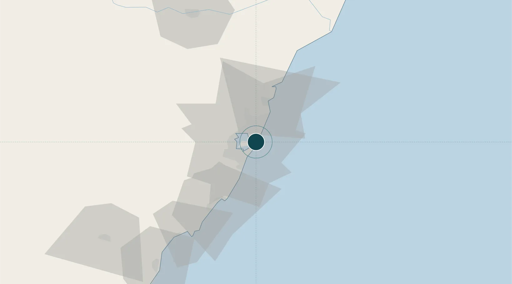
Location
Nearby Logistics Neighbours
Ports
- 1Vitoria9 km
- 2Macae280 km
- 3Porto Do Forno350 km
- 4Niteroi414 km
- 5Rio De Janeiro419 km
Cities
- 1Praia Mole Pt / Vitória4 km
- 2Vitória8 km
- 3Vila Velha12 km
- 4Cariacica14 km
- 5Serra15 km
Airports
Trade Zones
- 1ZPE de Aracruz (ES)63 km
- 2ZPE do Açú (RJ)191 km
- 3ZPE de Teófilo Otoni (MG)299 km
- 4ZPE de Itaguaí (RJ)467 km
- 5Zona Franca Ilhéus (BA)642 km
DatabookThe Record of Consolidated Knowledge
Brazil beyond logistics?