Small airport · Brazil

Pedro Rabelo de Souza AirportSNZR
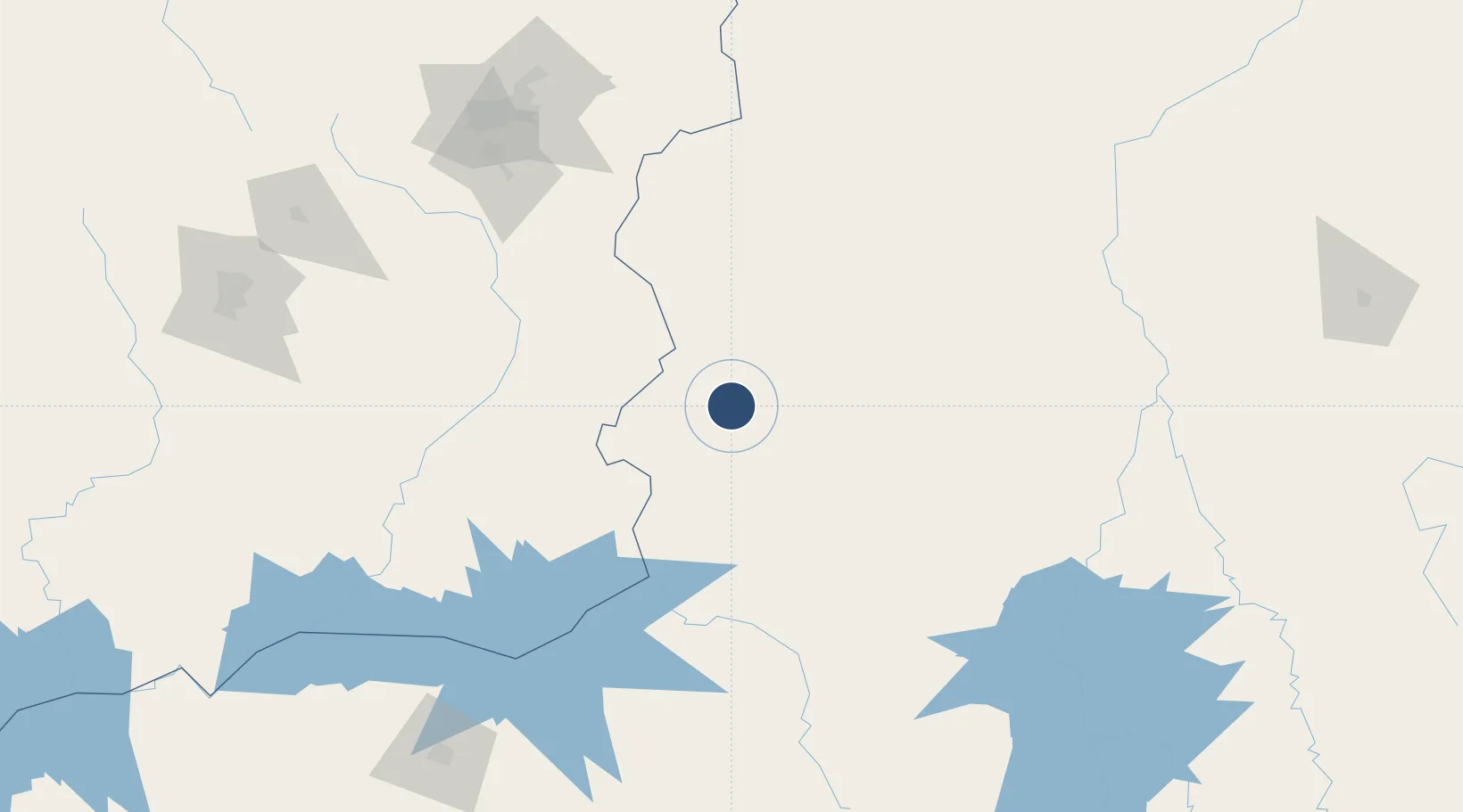
-17.2426°, -46.8831°
4,921 ft
Longest runway
1
Runways
2,359 ft
Elevation

Runway & Layout

Pedro Rabelo de Souza Airport runway & taxiway layout
Runway & taxiway layout — OpenStreetMap (ODbL) / OurAirports

Navaids

PKT NDB Paracatu 300 kHz
OurAirports

Runways · 1

RunwayDimensions SurfaceTrue headingLit
11/29 4,921 × 98ft Asphalt
OurAirports

Airport Specifications

IATA code
PYT
OurAirports
ICAO code
SNZR
OurAirports
Airport class
Small airport
OurAirports
Scheduled service
Yes
OurAirports
Runway surface
Asphalt
OurAirports
Served city
Paracatu
OurAirports

Location

Location of SNZR
Natural Earth 10m (public domain) · Minas Gerais · SNZR · -17.24, -46.88GoogleOSMYandex

Nearby Logistics Neighbours

Airports
  1. 1Presidente Juscelino Kubitschek International Airport189 km
  2. 2Nelson Ribeiro Guimarães Airport191 km
  3. 3Ten. Cel. Aviador César Bombonato Airport231 km
  4. 4Anápolis Airbase249 km
  5. 5Santa Genoveva International Airport258 km
Nearest neighbours — logibook spatial index (haversine) over the source coordinates
Cities
  1. 1Ipameri144 km
  2. 2Pires do Rio147 km
  3. 3Catalão151 km
  4. 4Luziânia158 km
  5. 5Patrocínio188 km
Nearest neighbours — logibook spatial index (haversine) over the source coordinates
Ports
  1. 1Angra Dos Reis696 km
  2. 2Rio De Janeiro739 km
  3. 3Niteroi740 km
  4. 4Sao Sebastiao745 km
  5. 5Santos748 km
Nearest neighbours — logibook spatial index (haversine) over the source coordinates
Trade Zones
  1. 1ZPE de Uberaba (MG)297 km
  2. 2ZPE de Fernandópolis (SP)493 km
  3. 3ZPE de Teófilo Otoni (MG)576 km
  4. 4ZPE de Itaguaí (RJ)708 km
  5. 5ZPE de Bataguassú (MS)762 km
Nearest neighbours — logibook spatial index (haversine) over the source coordinates
DatabookThe Record of Consolidated Knowledge
Brazil beyond logistics?
Browse databook

All Sources

AirportsOurAirports
Public domain
Portsthe NGA World Port Index
Public domain (US gov)
LocationsUN/LOCODE
UN/LOCODE — free
Trade Zonesthe World Bank SEZ database
CC BY 4.0
Trade ZonesOpen Zone Map
CC BY
InfrastructureOpenStreetMap
ODbL 1.0
← Brazil airports