Transport Functions
Port
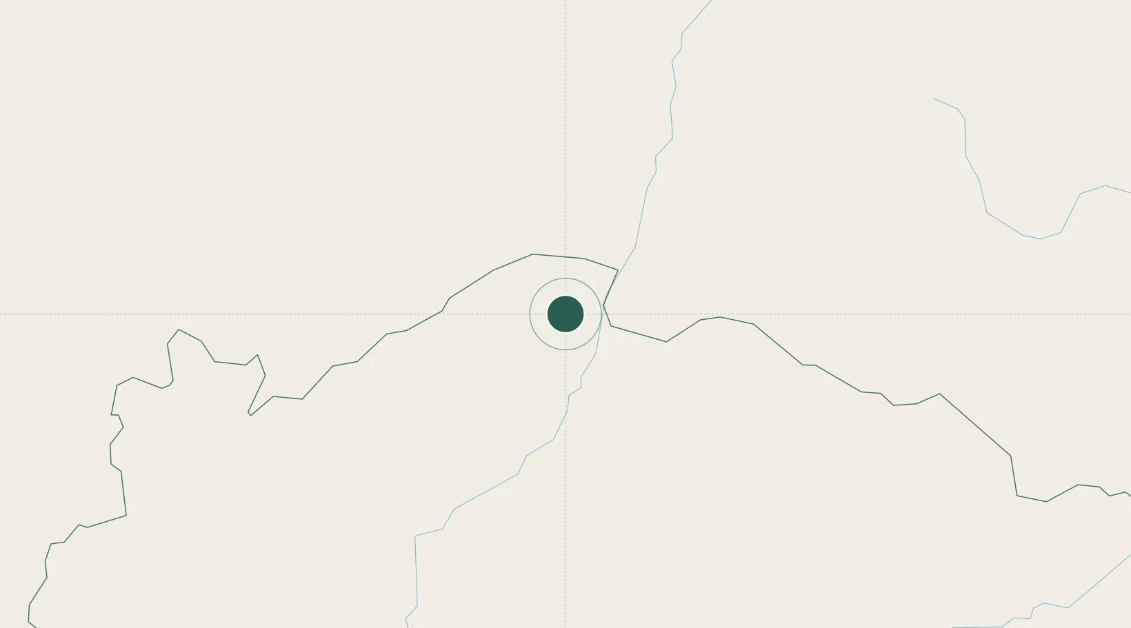
Location
Nearby Logistics Neighbours
Cities
- 1Montes Claros235 km
- 2Brumado268 km
- 3Ibotirama288 km
- 4Pirapora315 km
- 5Barra407 km
Ports
- 1Port Of Ilheus549 km
- 2Madre De Deus629 km
- 3Port De Salvador632 km
- 4Aratu640 km
- 5Vitoria750 km
Airports
Trade Zones
- 1ZPE de Teófilo Otoni (MG)458 km
- 2Zona Franca Ilhéus (BA)518 km
- 3ZPE de Uberaba (MG)698 km
- 4ZPE de Aracruz (ES)716 km
- 5ZPE do Açú (RJ)866 km
DatabookThe Record of Consolidated Knowledge
Uruguay beyond logistics?