Medium airport · Brazil

Mário Ribeiro AirportSBMK
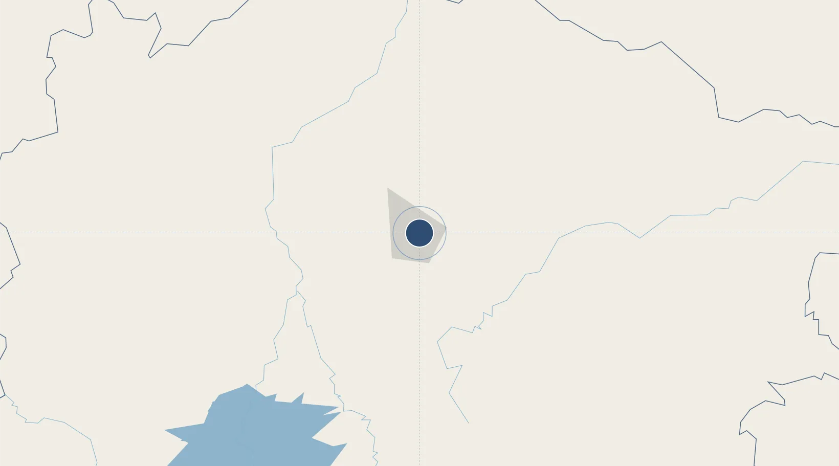
-16.7069°, -43.8189°
6,890 ft
Longest runway
1
Runways
2,191 ft
Elevation

Runway & Layout

Mário Ribeiro Airport runway & taxiway layout
Runway & taxiway layout — OpenStreetMap (ODbL) / OurAirports

Radio Frequencies

AFIS
131.7 MHz
RDO
OurAirports

Navaids

MCL NDB Montes Claros 310 kHz
OurAirports

Runways · 1

RunwayDimensions SurfaceTrue headingLit
12/30 6,890 × 148ft Asphalt
OurAirports

Airport Specifications

IATA code
MOC
OurAirports
ICAO code
SBMK
OurAirports
Airport class
Medium airport
OurAirports
Scheduled service
Yes
OurAirports
Runway surface
Asphalt
OurAirports
Served city
Montes Claros
OurAirports

Location

Location of SBMK
Natural Earth 10m (public domain) · Minas Gerais · SBMK · -16.71, -43.82GoogleOSMYandex

Nearby Logistics Neighbours

Airports
  1. 1Coronel Altino Machado Airport312 km
  2. 2Tancredo Neves International Airport326 km
  3. 3Pedro Rabelo de Souza Airport331 km
  4. 4Usiminas Airport338 km
  5. 5Pampulha - Carlos Drummond de Andrade Airport350 km
Nearest neighbours — logibook spatial index (haversine) over the source coordinates
Cities
  1. 1Montes Claros4 km
  2. 2Pirapora139 km
  3. 3Cuenca del Plata235 km
  4. 4Prudente de Morais311 km
  5. 5Governador Valadares311 km
Nearest neighbours — logibook spatial index (haversine) over the source coordinates
Ports
  1. 1Vitoria544 km
  2. 2Tubarao548 km
  3. 3Port Of Ilheus557 km
  4. 4Macae665 km
  5. 5Niteroi691 km
Nearest neighbours — logibook spatial index (haversine) over the source coordinates
Trade Zones
  1. 1ZPE de Teófilo Otoni (MG)279 km
  2. 2ZPE de Aracruz (ES)523 km
  3. 3Zona Franca Ilhéus (BA)538 km
  4. 4ZPE de Uberaba (MG)551 km
  5. 5ZPE do Açú (RJ)641 km
Nearest neighbours — logibook spatial index (haversine) over the source coordinates
DatabookThe Record of Consolidated Knowledge
Brazil beyond logistics?
Browse databook

All Sources

AirportsOurAirports
Public domain
Portsthe NGA World Port Index
Public domain (US gov)
LocationsUN/LOCODE
UN/LOCODE — free
Trade Zonesthe World Bank SEZ database
CC BY 4.0
Trade ZonesOpen Zone Map
CC BY
InfrastructureOpenStreetMap
ODbL 1.0
← Brazil airports