Medium airport · Brazil

Usiminas AirportSBIP
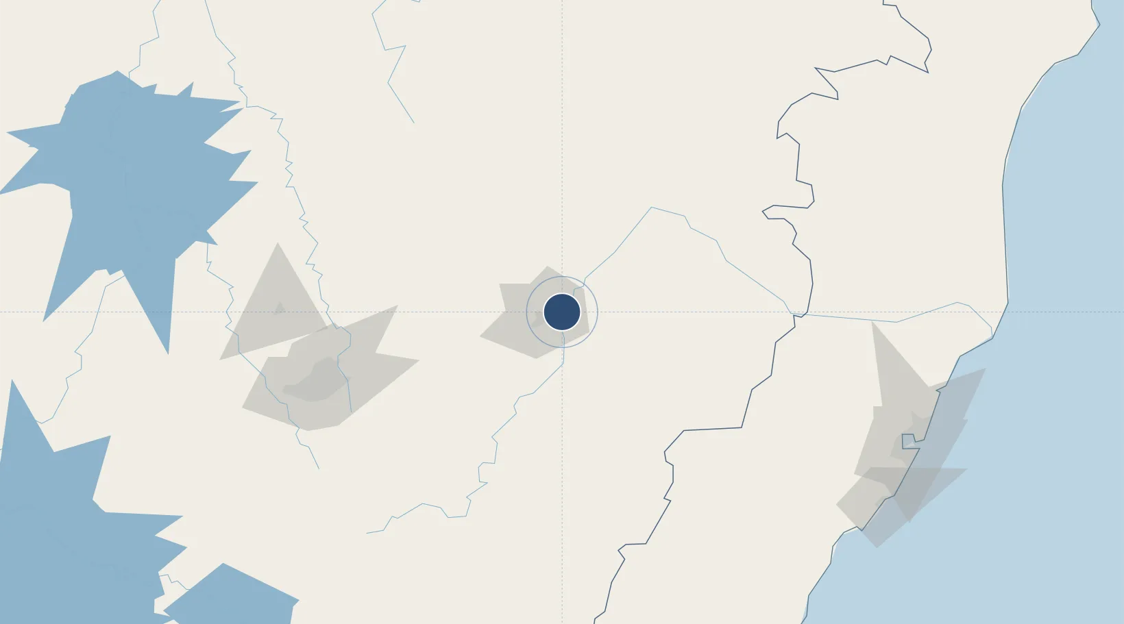
-19.4707°, -42.4876°
6,575 ft
Longest runway
1
Runways
786 ft
Elevation

Runway & Layout

Usiminas Airport runway & taxiway layout
Runway & taxiway layout — OpenStreetMap (ODbL) / OurAirports

Radio Frequencies

AFIS
130 MHz
RDO
OurAirports

Navaids

YPT NDB Usiminas 162 kHz
OurAirports

Runways · 1

RunwayDimensions SurfaceTrue headingLit
05/23 6,575 × 148ft ASPH 031°
OurAirports

Airport Specifications

IATA code
IPN
OurAirports
ICAO code
SBIP
OurAirports
Airport class
Medium airport
OurAirports
Scheduled service
Yes
OurAirports
Runway surface
ASPH
OurAirports
Served city
Ipatinga
OurAirports

Location

Location of SBIP
Natural Earth 10m (public domain) · Minas Gerais · SBIP · -19.47, -42.49GoogleOSMYandex

Nearby Logistics Neighbours

Airports
  1. 1Coronel Altino Machado Airport83 km
  2. 2Tancredo Neves International Airport156 km
  3. 3Pampulha - Carlos Drummond de Andrade Airport159 km
  4. 4Presidente Itamar Franco Airport238 km
  5. 5Major Brigadeiro Doorgal Borges Airport240 km
Nearest neighbours — logibook spatial index (haversine) over the source coordinates
Cities
  1. 1Ipatinga3 km
  2. 2Timóteo20 km
  3. 3Belo Oriente28 km
  4. 4Nova Era65 km
  5. 5Bela Vista de Minas73 km
Nearest neighbours — logibook spatial index (haversine) over the source coordinates
Ports
  1. 1Vitoria244 km
  2. 2Tubarao251 km
  3. 3Macae331 km
  4. 4Niteroi385 km
  5. 5Rio De Janeiro388 km
Nearest neighbours — logibook spatial index (haversine) over the source coordinates
Trade Zones
  1. 1ZPE de Teófilo Otoni (MG)207 km
  2. 2ZPE de Aracruz (ES)258 km
  3. 3ZPE do Açú (RJ)303 km
  4. 4ZPE de Itaguaí (RJ)405 km
  5. 5ZPE de Uberaba (MG)576 km
Nearest neighbours — logibook spatial index (haversine) over the source coordinates
DatabookThe Record of Consolidated Knowledge
Brazil beyond logistics?
Browse databook

All Sources

AirportsOurAirports
Public domain
Portsthe NGA World Port Index
Public domain (US gov)
LocationsUN/LOCODE
UN/LOCODE — free
Trade Zonesthe World Bank SEZ database
CC BY 4.0
Trade ZonesOpen Zone Map
CC BY
InfrastructureOpenStreetMap
ODbL 1.0
← Brazil airports