UN/LOCODE hub · Brazil
BRDEN
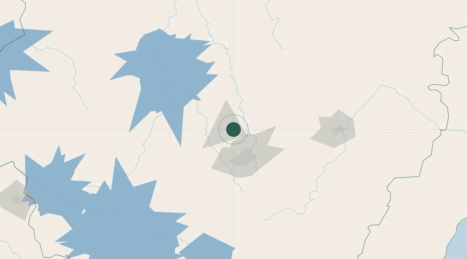
Prudente de Morais
-19.4833°, -44.1500°
11,466
Population
2
Transport functions
Transport Functions
Rail
Road
Hub Profile
Place type
Populated place
Region
Minas Gerais
Population
11,466
Time zone
America/Sao_Paulo
Elevation
741 m
Location
Nearby Logistics Neighbours
Cities
- 1Matozinhos10 km
- 2Pedro Leopoldo19 km
- 3Vespasiano33 km
- 4Contagem44 km
- 5Santa Luzia45 km
Ports
- 1Niteroi393 km
- 2Angra Dos Reis393 km
- 3Rio De Janeiro393 km
- 4Macae405 km
- 5Vitoria410 km
Airports
Trade Zones
- 1ZPE de Teófilo Otoni (MG)333 km
- 2ZPE de Itaguaí (RJ)383 km
- 3ZPE de Uberaba (MG)402 km
- 4ZPE do Açú (RJ)416 km
- 5ZPE de Aracruz (ES)431 km
DatabookThe Record of Consolidated Knowledge
Brazil beyond logistics?