Transport Functions
Rail
Road
Hub Profile
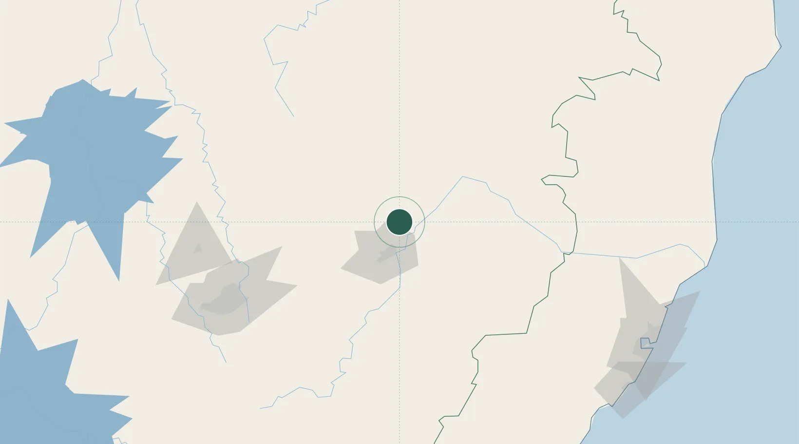
Place type
Populated place
Region
Minas Gerais
Population
23,928
Time zone
America/Sao_Paulo
Elevation
261 m
Location
Nearby Logistics Neighbours
Cities
- 1Ipatinga28 km
- 2Timóteo44 km
- 3Governador Valadares71 km
- 4Nova Era83 km
- 5Itabira90 km
Ports
- 1Vitoria256 km
- 2Tubarao262 km
- 3Macae358 km
- 4Niteroi413 km
- 5Rio De Janeiro416 km
Airports
Trade Zones
- 1ZPE de Teófilo Otoni (MG)183 km
- 2ZPE de Aracruz (ES)262 km
- 3ZPE do Açú (RJ)328 km
- 4ZPE de Itaguaí (RJ)432 km
- 5ZPE de Uberaba (MG)579 km
DatabookThe Record of Consolidated Knowledge
Brazil beyond logistics?