Seaport · Brazil
Port Of IlheusBRIOS
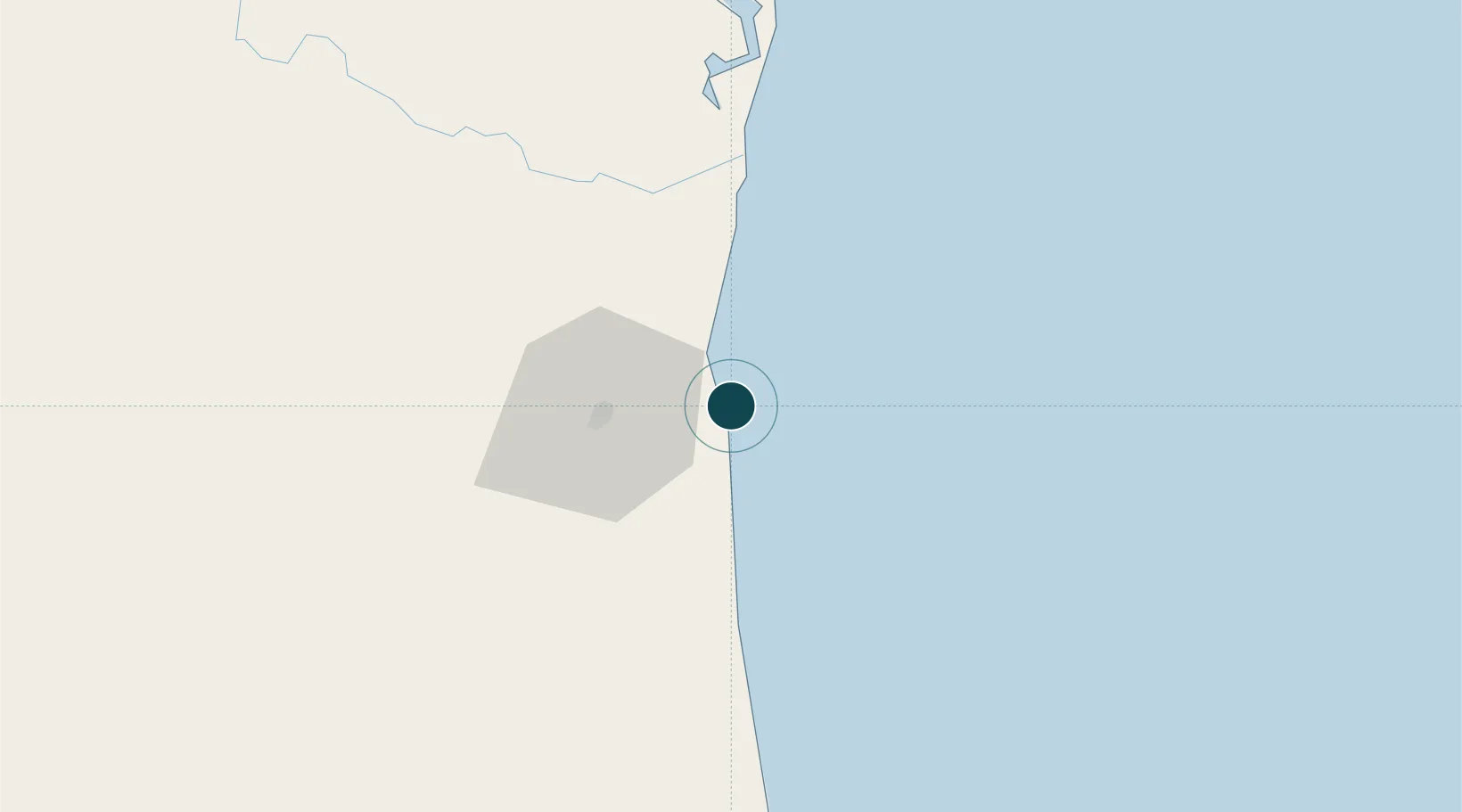
-14.7833°, -39.0167°
9.4 m
Channel depth
13.1
Port liner connectivity
Channel & Berth Profile
Pilotage, Tugs & Services
Pilotage compulsoryYES
Pilotage availableYES
Pilotage advisableYES
Tug assistanceYES
Potable waterYES
MedicalYES
Garbage disposalNO
Facilities & Capabilities
Container—
Ro-Ro—
Liquid bulk—
Dry bulk—
Oil terminal—
Break bulk—
Dry dock—
RepairsNO
BunkeringYES
Rail linkYES
Dangerous cargo—
ISPS security—
Harbour Specifications
Harbour size
Small
Harbour type
Coastal (Breakwater)
Shelter
Fair
Water body
South Atlantic Ocean
Tidal range
2 m
Pilotage
Yes
Liner Connectivity
13.1
PLSCI
Port Liner Shipping Connectivity Index for Port Of Ilheus, as published by UNCTAD for the latest available quarter. Higher values indicate stronger scheduled liner-shipping integration.
Shown relative to the highest per-port PLSCI in the dataset (1,657.9).
Location
Nearby Logistics Neighbours
Ports
- 1Port De Salvador209 km
- 2Aratu229 km
- 3Madre De Deus230 km
- 4Port De Aracaju480 km
- 5Tubarao625 km
Cities
- 1Belmonte120 km
- 2Salvador122 km
- 3Maragogipe225 km
- 4Simões Filho226 km
- 5Aratu Pt / Candeias229 km
Airports
- 1Bahia - Jorge Amado Airport4 km
- 2Una-Comandatuba Airport64 km
- 3Barra Grande Airport98 km
- 4Morro de São Paulo Airport151 km
- 5Valença Airport165 km
Trade Zones
- 1Zona Franca Ilhéus (BA)39 km
- 2ZPE de Teófilo Otoni (MG)432 km
- 3ZPE de Barra dos Coqueiros (SE)482 km
- 4ZPE de Aracruz (ES)563 km
- 5ZPE do Açú (RJ)813 km
DatabookThe Record of Consolidated Knowledge
Brazil beyond logistics?