Transport Functions
Port
Road
Airport
Hub Profile
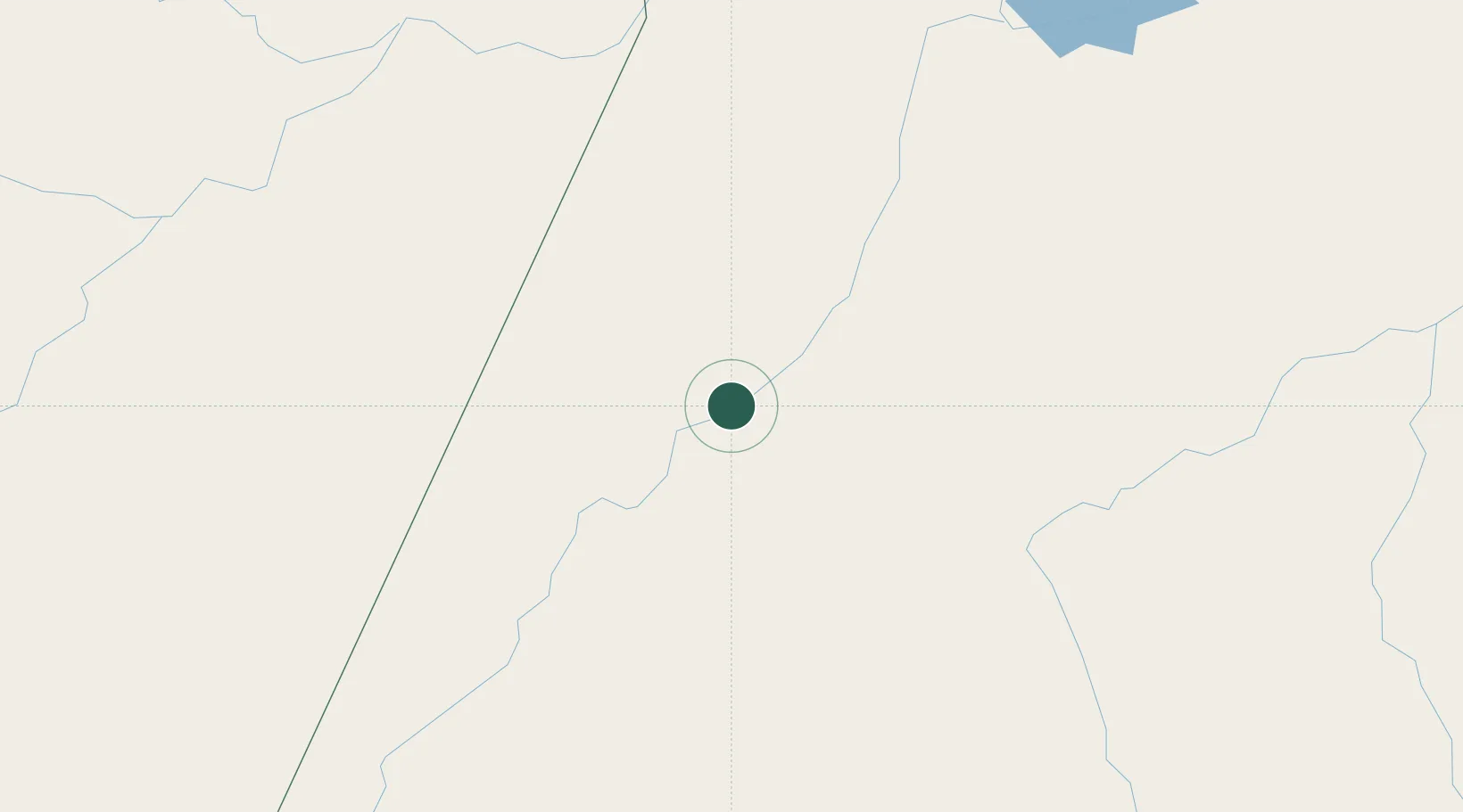
Place type
Populated place
Region
Pará
Population
123,314
Time zone
America/Santarem
Elevation
13 m
Location
Nearby Logistics Neighbours
Cities
- 1Parintins200 km
- 2Barreirinha203 km
- 3Maués214 km
- 4Boa Vista do Ramos228 km
- 5Juruti234 km
Ports
- 1Santarem248 km
- 2Itacoatiara300 km
- 3Manaus465 km
- 4Porto Santana709 km
- 5Cameta753 km
Airports
- 1Itaituba Airport2 km
- 2Santarém - Maestro Wilson Fonseca International Airport242 km
- 3Jacareacanga Airport297 km
- 4Itacoatiara Airport304 km
- 5Trombetas Airport310 km
Trade Zones
- 1Zona Franca de Manaus - Suframa (Manaus Free Zone)460 km
- 2ZPE de Barcarena (PA)871 km
- 3ZPE de Araguaína (TO)918 km
- 4ZPE de Boa Vista (RR)944 km
- 5Lethem Industrial Estate949 km
DatabookThe Record of Consolidated Knowledge
Brazil beyond logistics?