UN/LOCODE hub · Brazil
BRFPO
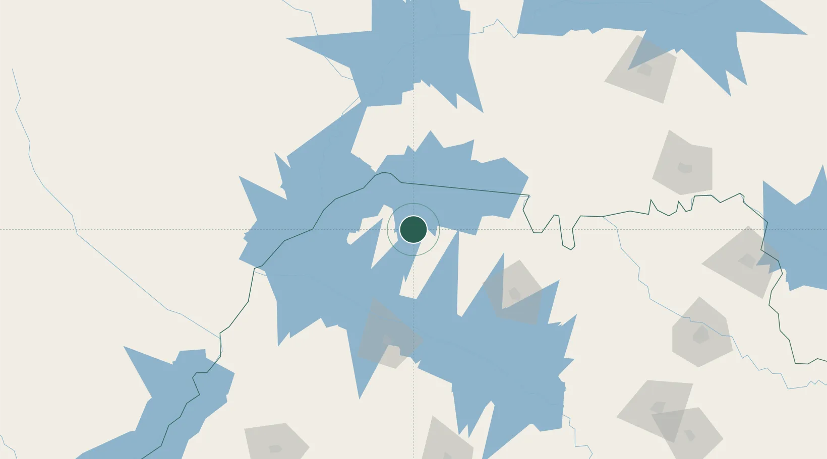
Fernandópolis
-20.2667°, -50.2333°
71,186
Population
3
Transport functions
Transport Functions
Rail
Road
Airport
Hub Profile
Place type
Populated place
Region
São Paulo
Population
71,186
Time zone
America/Sao_Paulo
Elevation
533 m
Location
Nearby Logistics Neighbours
Cities
- 1Votuporanga32 km
- 2Aparecida do Taboado91 km
- 3Araçatuba106 km
- 4São José do Rio Preto108 km
- 5Ilha Solteira116 km
Ports
- 1Santos576 km
- 2Paranagua608 km
- 3Sao Sebastiao634 km
- 4Angra Dos Reis684 km
- 5Sao Francisco685 km
Airports
- 1Araçatuba Airport99 km
- 2Prof. Eribelto Manoel Reino State Airport106 km
- 3Plínio Alarcom Airport160 km
- 4Lins Airport164 km
- 5Chafei Amsei Airport174 km
Trade Zones
- 1ZPE de Fernandópolis (SP)6 km
- 2ZPE de Uberaba (MG)244 km
- 3ZPE de Bataguassú (MS)276 km
- 4ZPE de Itaguaí (RJ)729 km
- 5Zona Franca Internacional740 km
DatabookThe Record of Consolidated Knowledge
Brazil beyond logistics?