Small airport · Brazil
Orlando Bezerra de Menezes AirportSBJU
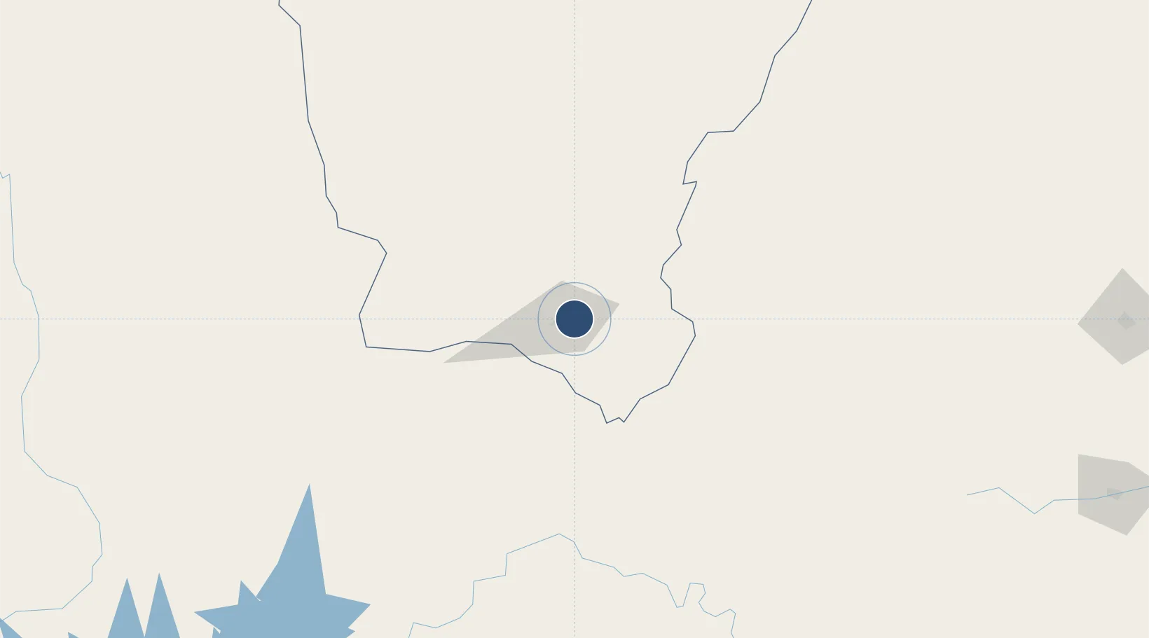
-7.2193°, -39.2691°
6,365 ft
Longest runway
1
Runways
1,342 ft
Elevation
Runway & Layout

Radio Frequencies
AFIS
131.75 MHz
JUAZEIRO RDO
Navaids
JZR NDB Juazeiro 205 kHz
Runways · 1
| Runway | Dimensions | Surface | True heading | Lit |
|---|---|---|---|---|
| 13/31 | 6,365 × 148ft | Asphalt | — | — |
Airport Specifications
IATA code
JDO
ICAO code
SBJU
Airport class
Small airport
Scheduled service
Yes
Runway surface
Asphalt
Served city
Juazeiro do Norte
Location
Nearby Logistics Neighbours
Airports
- 1Pedro Vieira Moreira Airport81 km
- 2Santa Magalhães Airport140 km
- 3Quixadá Airport251 km
- 4Paulo Afonso Airport267 km
- 5Senador Nilo Coelho Airport278 km
Cities
- 1Petrolina274 km
- 2Crateús276 km
- 3Juazeiro278 km
- 4Mossoró310 km
- 5Areia Branca347 km
Ports
- 1Guamare Oil Terminal421 km
- 2Porto De Maceio475 km
- 3Natal477 km
- 4Port De Aracaju478 km
- 5Cabedelo490 km
Trade Zones
- 1ZPE de Pecém (CE) ( Port of Pecém)407 km
- 2ZPE de Macaíba (RN)447 km
- 3ZPE de João Pessoa (PB)476 km
- 4ZPE de Barra dos Coqueiros (SE)477 km
- 5ZPE de Suape (PE)491 km
DatabookThe Record of Consolidated Knowledge
Brazil beyond logistics?