UN/LOCODE hub · Brazil
BRADR
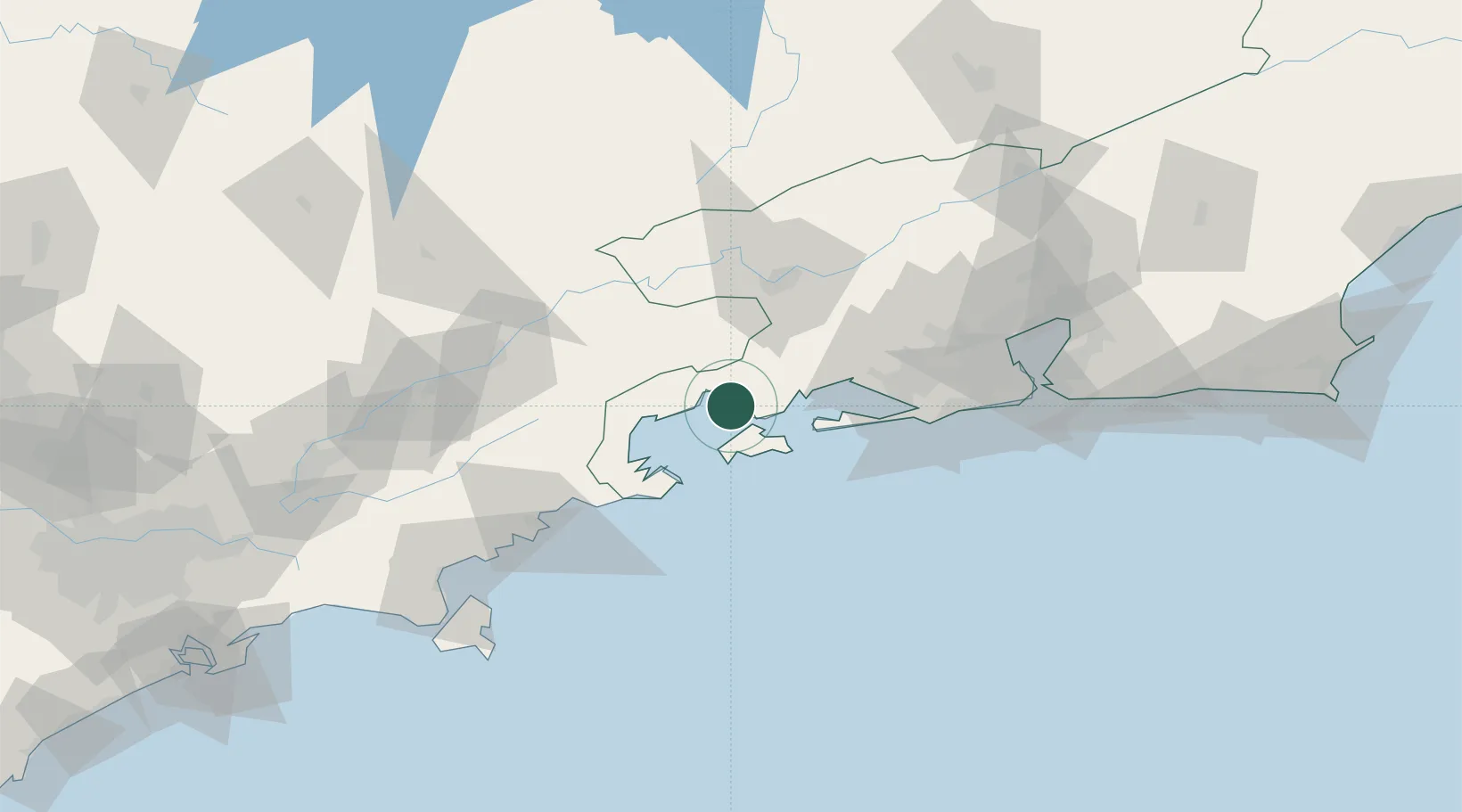
Angra dos Reis
-23.0000°, -44.3167°
179,120
Population
4
Transport functions
Transport Functions
Port
Road
Airport
Multimodal
Hub Profile
Place type
Provincial seat
Region
Rio de Janeiro
Population
179,120
Time zone
America/Sao_Paulo
Elevation
8 m
Location
Nearby Logistics Neighbours
Cities
- 1Mangaratiba30 km
- 2Barra Mansa54 km
- 3Itaguaí Pt = Sepetiba Pt54 km
- 4Resende61 km
- 5Volta Redonda61 km
Ports
- 1Rio De Janeiro118 km
- 2Niteroi124 km
- 3Sao Sebastiao142 km
- 4Santos228 km
- 5Porto Do Forno236 km
Airports
Trade Zones
- 1ZPE de Itaguaí (RJ)56 km
- 2ZPE do Açú (RJ)361 km
- 3ZPE de Uberaba (MG)528 km
- 4ZPE de Aracruz (ES)571 km
- 5ZPE de Teófilo Otoni (MG)643 km
DatabookThe Record of Consolidated Knowledge
Brazil beyond logistics?