Medium airport · Brazil

Jacarepaguá - Roberto Marinho AirportSBJR
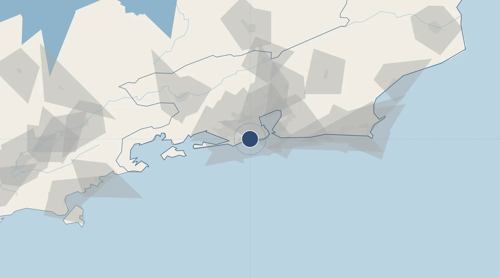
-22.9868°, -43.3722°
2,952 ft
Longest runway
1
Runways
10 ft
Elevation

Runway & Layout

Jacarepaguá - Roberto Marinho Airport runway & taxiway layout
Runway & taxiway layout — OpenStreetMap (ODbL) / OurAirports

Navaids

JPG NDB Jacarepagua 205 kHz
OurAirports

Runways · 1

RunwayDimensions SurfaceTrue headingLit
03/21 2,952 × 98ft Asphalt
OurAirports

Airport Specifications

IATA code
RRJ
OurAirports
ICAO code
SBJR
OurAirports
Airport class
Medium airport
OurAirports
Scheduled service
Yes
OurAirports
Runway surface
Asphalt
OurAirports
Served city
Rio de Janeiro
OurAirports

Location

Location of SBJR
Natural Earth 10m (public domain) · Rio de Janeiro · SBJR · -22.99, -43.37GoogleOSMYandex

Nearby Logistics Neighbours

Airports
  1. 1Campo Délio Jardim de Mattos Airport13 km
  2. 2Santos Dumont Airport23 km
  3. 3Rio Galeão – Tom Jobim International Airport23 km
  4. 4Santa Cruz Air Force Base36 km
  5. 5Francisco de Assis Airport133 km
Nearest neighbours — logibook spatial index (haversine) over the source coordinates
Cities
  1. 1Rio de Janeiro18 km
  2. 2Duque de Caxias24 km
  3. 3Mesquita25 km
  4. 4Itaguaí33 km
  5. 5Niterói33 km
Nearest neighbours — logibook spatial index (haversine) over the source coordinates
Ports
  1. 1Rio De Janeiro23 km
  2. 2Niteroi29 km
  3. 3Angra Dos Reis97 km
  4. 4Porto Do Forno139 km
  5. 5Macae179 km
Nearest neighbours — logibook spatial index (haversine) over the source coordinates
Trade Zones
  1. 1ZPE de Itaguaí (RJ)43 km
  2. 2ZPE do Açú (RJ)272 km
  3. 3ZPE de Aracruz (ES)498 km
  4. 4ZPE de Uberaba (MG)602 km
  5. 5ZPE de Teófilo Otoni (MG)602 km
Nearest neighbours — logibook spatial index (haversine) over the source coordinates
DatabookThe Record of Consolidated Knowledge
Brazil beyond logistics?
Browse databook

All Sources

AirportsOurAirports
Public domain
Portsthe NGA World Port Index
Public domain (US gov)
LocationsUN/LOCODE
UN/LOCODE — free
Trade Zonesthe World Bank SEZ database
CC BY 4.0
Trade ZonesOpen Zone Map
CC BY
InfrastructureOpenStreetMap
ODbL 1.0
← Brazil airports