UN/LOCODE hub · Brazil
BRVRA
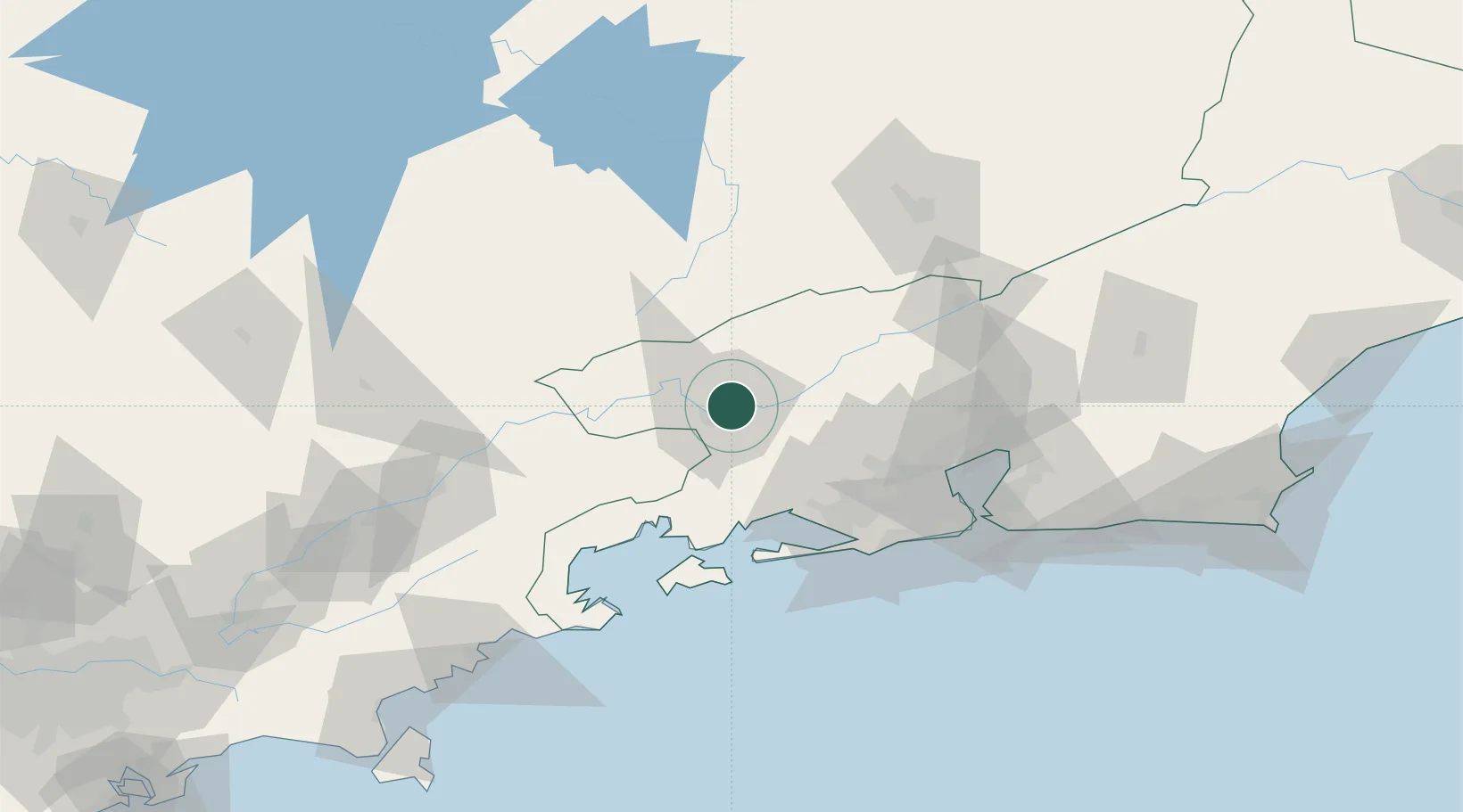
Volta Redonda
-22.5000°, -44.0833°
279,898
Population
2
Transport functions
Transport Functions
Rail
Road
Hub Profile
Place type
Populated place
Region
Rio de Janeiro
Population
279,898
Time zone
America/Sao_Paulo
Elevation
400 m
Location
Nearby Logistics Neighbours
Cities
- 1Barra Mansa9 km
- 2Resende36 km
- 3Itatiaia46 km
- 4Valença49 km
- 5Mangaratiba50 km
Ports
- 1Angra Dos Reis62 km
- 2Rio De Janeiro104 km
- 3Niteroi108 km
- 4Sao Sebastiao198 km
- 5Porto Do Forno218 km
Airports
Trade Zones
- 1ZPE de Itaguaí (RJ)55 km
- 2ZPE do Açú (RJ)322 km
- 3ZPE de Uberaba (MG)511 km
- 4ZPE de Aracruz (ES)519 km
- 5ZPE de Teófilo Otoni (MG)582 km
DatabookThe Record of Consolidated Knowledge
Brazil beyond logistics?