Transport Functions
Port
Rail
Road
Hub Profile
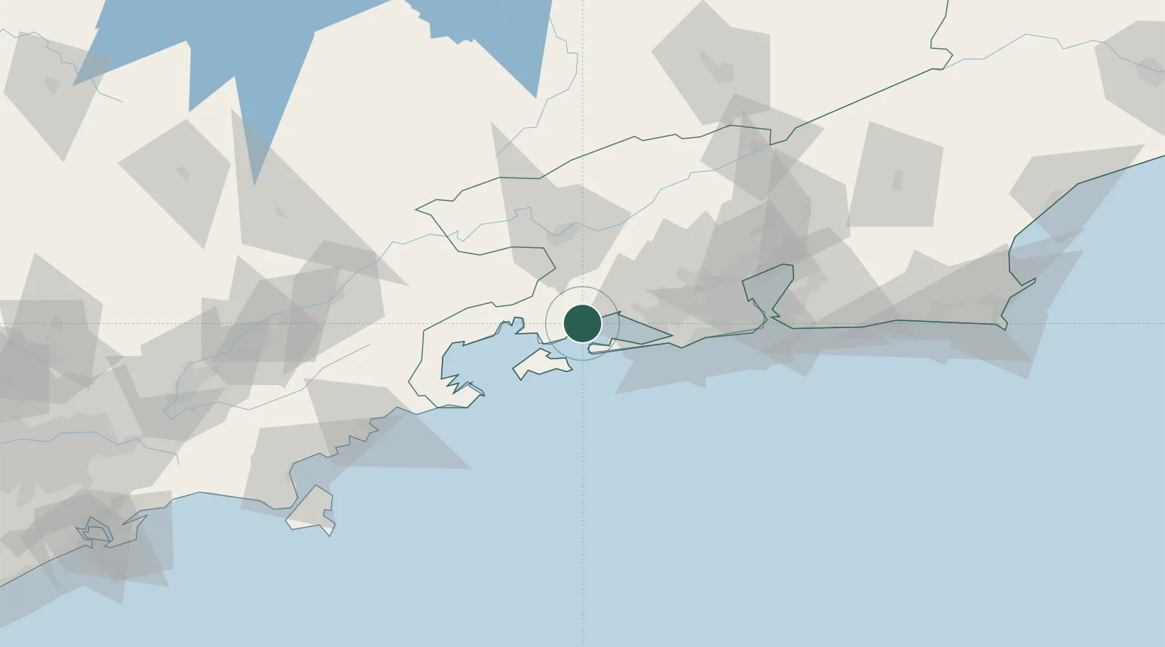
Place type
Populated place
Region
Rio de Janeiro
Population
43,624
Time zone
America/Sao_Paulo
Elevation
21 m
Location
Nearby Logistics Neighbours
Cities
- 1Itaguaí Pt = Sepetiba Pt25 km
- 2Angra dos Reis30 km
- 3Itaguaí39 km
- 4Barra Mansa48 km
- 5Volta Redonda50 km
Ports
- 1Angra Dos Reis30 km
- 2Rio De Janeiro89 km
- 3Niteroi94 km
- 4Sao Sebastiao169 km
- 5Porto Do Forno207 km
Airports
Trade Zones
- 1ZPE de Itaguaí (RJ)27 km
- 2ZPE do Açú (RJ)332 km
- 3ZPE de Aracruz (ES)545 km
- 4ZPE de Uberaba (MG)546 km
- 5ZPE de Teófilo Otoni (MG)625 km
DatabookThe Record of Consolidated Knowledge
Brazil beyond logistics?