UN/LOCODE hub · Brazil
BRSPB

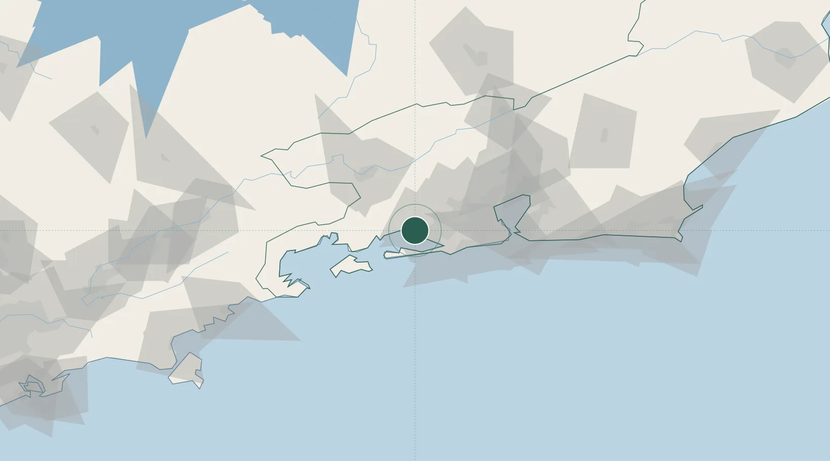
Itaguaí Pt = Sepetiba Pt

-22.9056°, -43.7976°
2
Transport functions
1
Container terminals

Transport Functions

Port
Rail
UN/LOCODE

Hub Profile

Region
RJ
GeoNames
Logistics facilities
5
UN/LOCODE
Container terminals
1
UN/LOCODE

Location

Location of BRSPB
Natural Earth 10m (public domain) · RJ · BRSPB · -22.91, -43.80GoogleOSMYandex

Nearby Logistics Neighbours

Cities
  1. 1Itaguaí14 km
  2. 2Mangaratiba25 km
  3. 3Mesquita42 km
  4. 4Duque de Caxias53 km
  5. 5Volta Redonda54 km
Nearest neighbours — logibook spatial index (haversine) over the source coordinates
Ports
  1. 1Angra Dos Reis55 km
  2. 2Rio De Janeiro65 km
  3. 3Niteroi70 km
  4. 4Porto Do Forno183 km
  5. 5Sao Sebastiao191 km
Nearest neighbours — logibook spatial index (haversine) over the source coordinates
Airports
  1. 1Santa Cruz Air Force Base9 km
  2. 2Campo Délio Jardim de Mattos Airport42 km
  3. 3Jacarepaguá - Roberto Marinho Airport45 km
  4. 4Rio Galeão – Tom Jobim International Airport57 km
  5. 5Santos Dumont Airport65 km
Nearest neighbours — logibook spatial index (haversine) over the source coordinates
Trade Zones
  1. 1ZPE de Itaguaí (RJ)2 km
  2. 2ZPE do Açú (RJ)307 km
  3. 3ZPE de Aracruz (ES)524 km
  4. 4ZPE de Uberaba (MG)562 km
  5. 5ZPE de Teófilo Otoni (MG)610 km
Nearest neighbours — logibook spatial index (haversine) over the source coordinates
DatabookThe Record of Consolidated Knowledge
Brazil beyond logistics?
Browse databook

All Sources

LocationsUN/LOCODE
UN/LOCODE — free
Portsthe NGA World Port Index
Public domain (US gov)
AirportsOurAirports
Public domain
Trade Zonesthe World Bank SEZ database
CC BY 4.0
Trade ZonesOpen Zone Map
CC BY
← Brazil locations