Medium airport · Brazil

Campo Délio Jardim de Mattos AirportSBAF
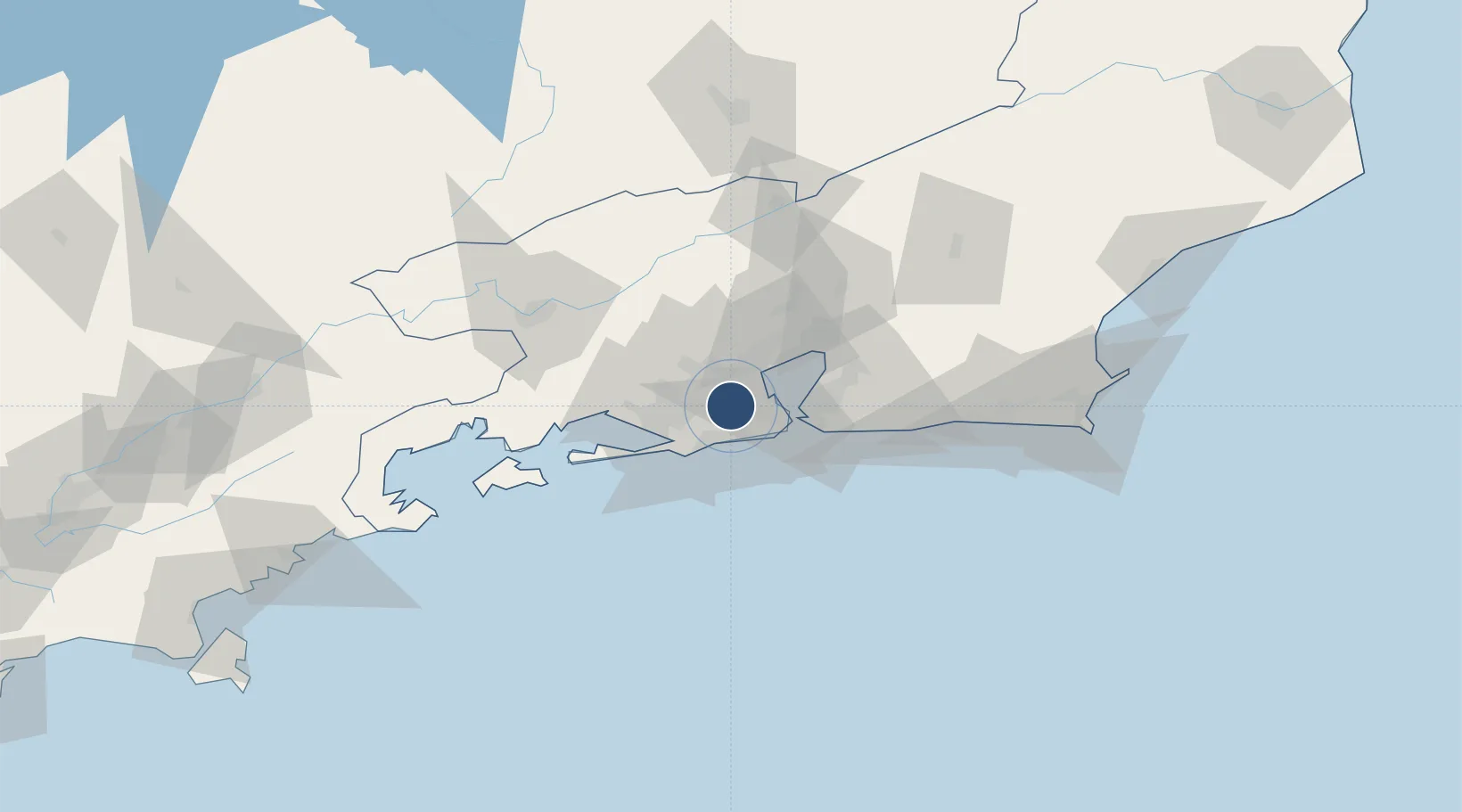
-22.8751°, -43.3847°
6,565 ft
Longest runway
1
Runways
110 ft
Elevation

Runway & Layout

Campo Délio Jardim de Mattos Airport runway & taxiway layout
Runway & taxiway layout — OpenStreetMap (ODbL) / OurAirports

Radio Frequencies

TWR
118.9 MHz
AFONSOS TWR
GND
121.85 MHz
AFONSOS
APP
119.35 MHz
RIO APP
OurAirports

Navaids

AFS NDB Afonsos 270 kHz
OurAirports

Runways · 1

RunwayDimensions SurfaceTrue headingLit
8/26 6,565 × 171ft Concrete
OurAirports

Airport Specifications

ICAO code
SBAF
OurAirports
Airport class
Medium airport
OurAirports
Scheduled service
No
OurAirports
Runway surface
Concrete
OurAirports
Served city
Rio de Janeiro
OurAirports

Location

Location of SBAF
Natural Earth 10m (public domain) · Rio de Janeiro · SBAF · -22.88, -43.38GoogleOSMYandex

Nearby Logistics Neighbours

Airports
  1. 1Jacarepaguá - Roberto Marinho Airport13 km
  2. 2Rio Galeão – Tom Jobim International Airport16 km
  3. 3Santos Dumont Airport23 km
  4. 4Santa Cruz Air Force Base35 km
  5. 5Francisco de Assis Airport121 km
Nearest neighbours — logibook spatial index (haversine) over the source coordinates
Cities
  1. 1Rio de Janeiro12 km
  2. 2Mesquita13 km
  3. 3Duque de Caxias13 km
  4. 4Itaguaí29 km
  5. 5Niterói33 km
Nearest neighbours — logibook spatial index (haversine) over the source coordinates
Ports
  1. 1Rio De Janeiro23 km
  2. 2Niteroi28 km
  3. 3Angra Dos Reis97 km
  4. 4Porto Do Forno141 km
  5. 5Macae175 km
Nearest neighbours — logibook spatial index (haversine) over the source coordinates
Trade Zones
  1. 1ZPE de Itaguaí (RJ)40 km
  2. 2ZPE do Açú (RJ)267 km
  3. 3ZPE de Aracruz (ES)491 km
  4. 4ZPE de Teófilo Otoni (MG)591 km
  5. 5ZPE de Uberaba (MG)593 km
Nearest neighbours — logibook spatial index (haversine) over the source coordinates
DatabookThe Record of Consolidated Knowledge
Brazil beyond logistics?
Browse databook

All Sources

AirportsOurAirports
Public domain
Portsthe NGA World Port Index
Public domain (US gov)
LocationsUN/LOCODE
UN/LOCODE — free
Trade Zonesthe World Bank SEZ database
CC BY 4.0
Trade ZonesOpen Zone Map
CC BY
InfrastructureOpenStreetMap
ODbL 1.0
← Brazil airports