Transport Functions
Road
Airport
Multimodal
Hub Profile
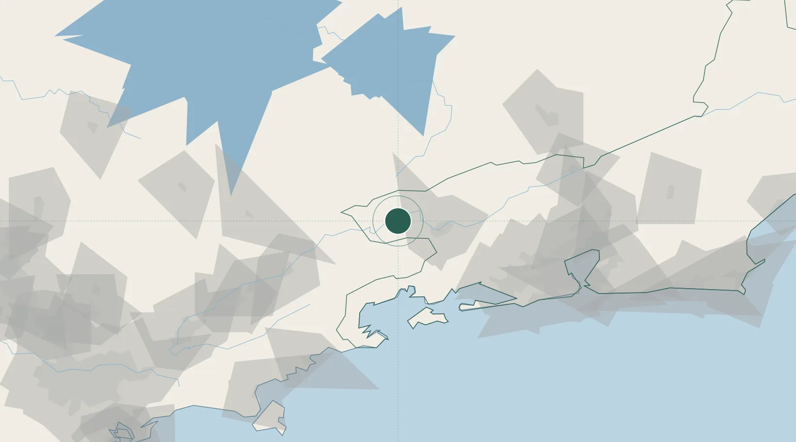
Place type
Populated place
Region
Rio de Janeiro
Population
111,514
Time zone
America/Sao_Paulo
Elevation
408 m
Location
Nearby Logistics Neighbours
Cities
- 1Itatiaia10 km
- 2Barra Mansa28 km
- 3Volta Redonda36 km
- 4Cruzeiro54 km
- 5Angra dos Reis61 km
Ports
- 1Angra Dos Reis62 km
- 2Rio De Janeiro139 km
- 3Niteroi143 km
- 4Sao Sebastiao178 km
- 5Santos252 km
Airports
- 1Edu Chaves Field87 km
- 2Paraty Airport89 km
- 3Santa Cruz Air Force Base90 km
- 4Campo Délio Jardim de Mattos Airport117 km
- 5N. S. A. Heliport118 km
Trade Zones
- 1ZPE de Itaguaí (RJ)83 km
- 2ZPE do Açú (RJ)356 km
- 3ZPE de Uberaba (MG)480 km
- 4ZPE de Aracruz (ES)546 km
- 5ZPE de Teófilo Otoni (MG)597 km
DatabookThe Record of Consolidated Knowledge
Brazil beyond logistics?