Transport Functions
Rail
Road
Hub Profile
Place type
Populated place
Region
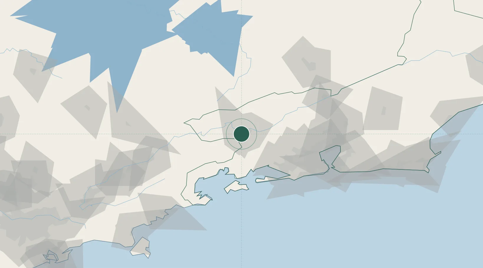
Rio de Janeiro
Population
164,052
Time zone
America/Sao_Paulo
Elevation
380 m
Location
Nearby Logistics Neighbours
Cities
- 1Volta Redonda9 km
- 2Resende28 km
- 3Itatiaia38 km
- 4Mangaratiba48 km
- 5Angra dos Reis54 km
Ports
- 1Angra Dos Reis56 km
- 2Rio De Janeiro110 km
- 3Niteroi115 km
- 4Sao Sebastiao189 km
- 5Porto Do Forno226 km
Airports
Trade Zones
- 1ZPE de Itaguaí (RJ)58 km
- 2ZPE do Açú (RJ)331 km
- 3ZPE de Uberaba (MG)506 km
- 4ZPE de Aracruz (ES)528 km
- 5ZPE de Teófilo Otoni (MG)590 km
DatabookThe Record of Consolidated Knowledge
Brazil beyond logistics?