Medium airport · Brazil

Santa Cruz Air Force BaseSBSC
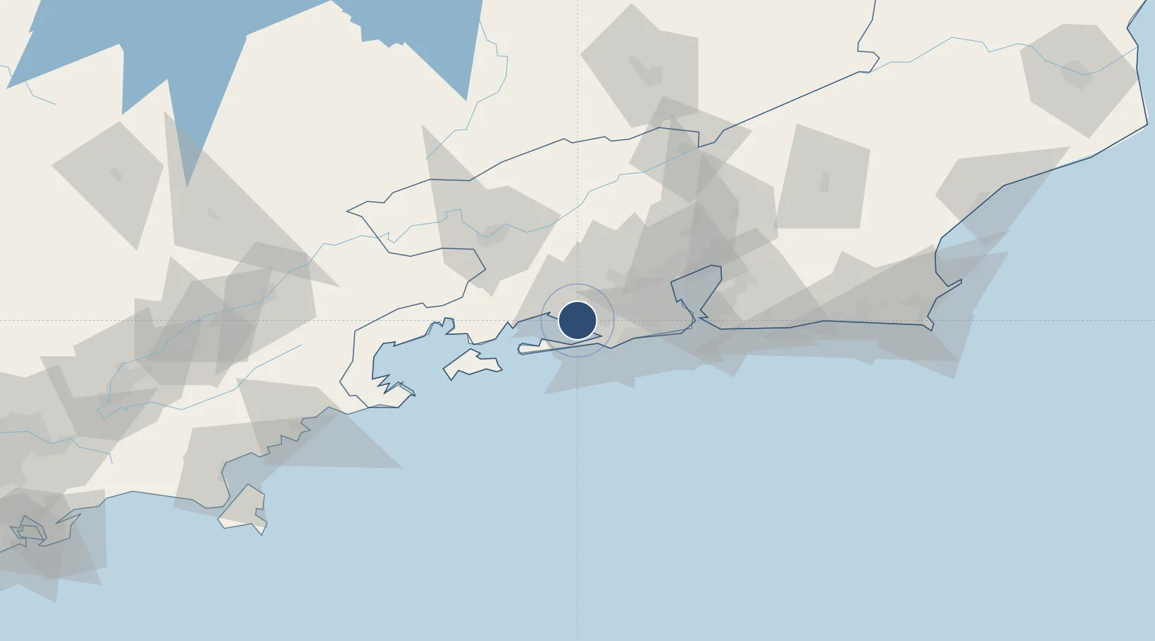
-22.9324°, -43.7191°
8,986 ft
Longest runway
1
Runways
10 ft
Elevation

Runway & Layout

Santa Cruz Air Force Base runway & taxiway layout
Runway & taxiway layout — OpenStreetMap (ODbL) / OurAirports

Radio Frequencies

TWR
118.8 MHz
GND
121.8 MHz
APP
132.5 MHz
OPS
121.15 MHz
OurAirports

Navaids

QQ NDB Cruz 245 kHz
SCR VOR-DME Santa Cruz 113.60 MHz
SCR NDB Santa Cruz 255 kHz
OurAirports

Runways · 1

RunwayDimensions SurfaceTrue headingLit
5/23 8,986 × 148ft Asphalt
OurAirports

Airport Specifications

IATA code
SNZ
OurAirports
ICAO code
SBSC
OurAirports
Airport class
Medium airport
OurAirports
Scheduled service
No
OurAirports
Runway surface
Asphalt
OurAirports
Served city
Rio de Janeiro
OurAirports

Location

Location of SBSC
Natural Earth 10m (public domain) · Rio de Janeiro · SBSC · -22.93, -43.72GoogleOSMYandex

Nearby Logistics Neighbours

Airports
  1. 1Campo Délio Jardim de Mattos Airport35 km
  2. 2Jacarepaguá - Roberto Marinho Airport36 km
  3. 3Rio Galeão – Tom Jobim International Airport50 km
  4. 4Santos Dumont Airport57 km
  5. 5Paraty Airport108 km
Nearest neighbours — logibook spatial index (haversine) over the source coordinates
Cities
  1. 1Itaguaí Pt = Sepetiba Pt9 km
  2. 2Itaguaí9 km
  3. 3Mangaratiba32 km
  4. 4Mesquita36 km
  5. 5Duque de Caxias46 km
Nearest neighbours — logibook spatial index (haversine) over the source coordinates
Ports
  1. 1Rio De Janeiro57 km
  2. 2Angra Dos Reis62 km
  3. 3Niteroi62 km
  4. 4Porto Do Forno174 km
  5. 5Sao Sebastiao197 km
Nearest neighbours — logibook spatial index (haversine) over the source coordinates
Trade Zones
  1. 1ZPE de Itaguaí (RJ)7 km
  2. 2ZPE do Açú (RJ)301 km
  3. 3ZPE de Aracruz (ES)520 km
  4. 4ZPE de Uberaba (MG)570 km
  5. 5ZPE de Teófilo Otoni (MG)610 km
Nearest neighbours — logibook spatial index (haversine) over the source coordinates
DatabookThe Record of Consolidated Knowledge
Brazil beyond logistics?
Browse databook

All Sources

AirportsOurAirports
Public domain
Portsthe NGA World Port Index
Public domain (US gov)
LocationsUN/LOCODE
UN/LOCODE — free
Trade Zonesthe World Bank SEZ database
CC BY 4.0
Trade ZonesOpen Zone Map
CC BY
InfrastructureOpenStreetMap
ODbL 1.0
← Brazil airports