Transport Functions
Port
Airport
Postal
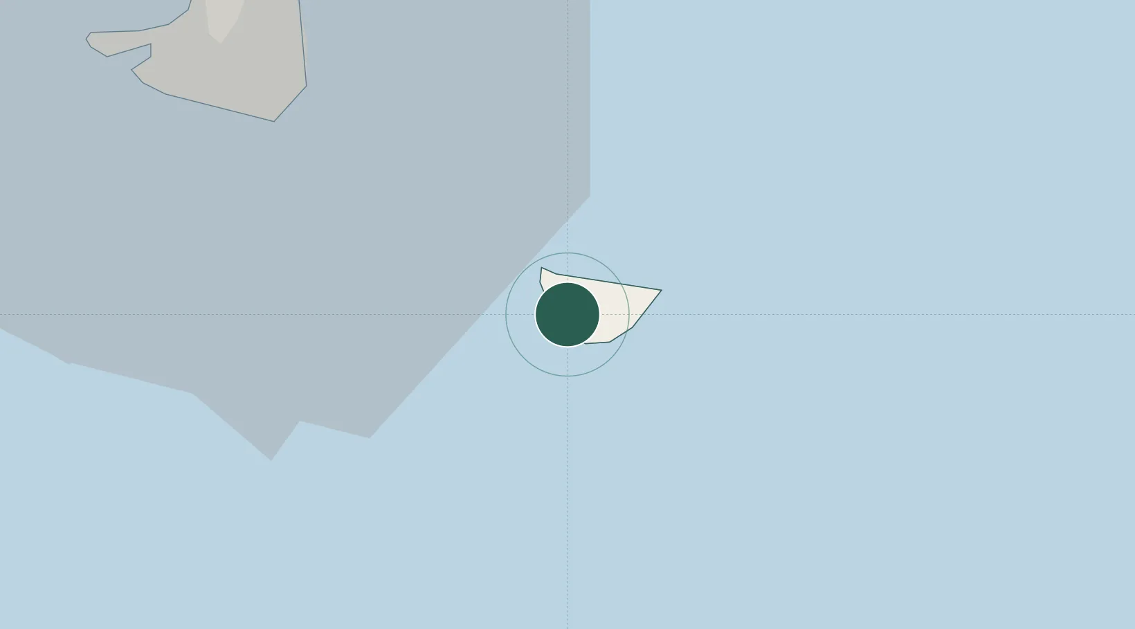
Location
Nearby Logistics Neighbours
Cities
- 1Philipsburg23 km
- 2Gallis Bay26 km
- 3Marigot30 km
- 4Galisbay31 km
- 5Marigot31 km
Ports
- 1Gustavia0 km
- 2Philipsburg25 km
- 3Oranjestad48 km
- 4Basseterre68 km
- 5Charlestown88 km
Airports
Trade Zones
- 1Free Trade & Processing Zone139 km
- 2Antigua and Barbuda Special Economic Zone (ABSEZ)147 km
- 3FTZ No. 061 San Juan351 km
- 4FTZ No. 163 Ponce392 km
- 5FTZ No. 007 Mayaguez457 km
DatabookThe Record of Consolidated Knowledge
St. Barthélemy beyond logistics?