Transport Functions
Rail
Road
Hub Profile
Place type
Populated place
Region
Flanders
Time zone
Europe/Brussels
Elevation
40 m
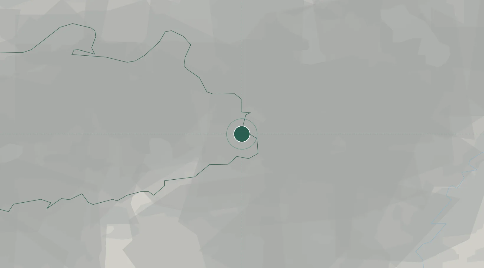
Location
Nearby Logistics Neighbours
Cities
- 1Stevensvennen2 km
- 2Balen6 km
- 3Lommel7 km
- 4Dessel8 km
- 5Mol8 km
Airports
- 1Kleine Brogel Air Base18 km
- 2Kempen Airport Budel28 km
- 3Eindhoven Airport30 km
- 4Gilze Rijen Air Base45 km
- 5Maastricht Aachen Airport50 km
Trade Zones
- 1Rheinische Revier SWZ88 km
- 2Freeport of Duisburg99 km
- 3ZFU Maubeuge, Louvroil138 km
- 4ZFU Condé sur lEscaut141 km
- 5ZFU Tourcoing154 km
DatabookThe Record of Consolidated Knowledge
Belgium beyond logistics?