Transport Functions
Port
Road
Hub Profile
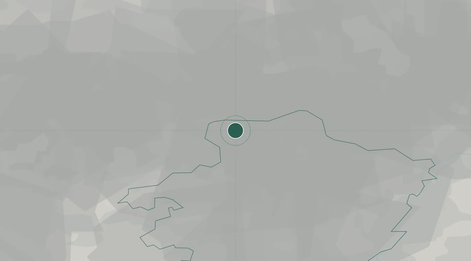
Place type
Populated place
Region
Flanders
Population
31,993
Time zone
Europe/Brussels
Elevation
48 m
Location
Nearby Logistics Neighbours
Cities
- 1Stevensvennen5 km
- 2Wezel7 km
- 3Neerpelt8 km
- 4Overpelt8 km
- 5Bergeyk10 km
Airports
- 1Kleine Brogel Air Base14 km
- 2Kempen Airport Budel21 km
- 3Eindhoven Airport25 km
- 4Gilze Rijen Air Base45 km
- 5Maastricht Aachen Airport49 km
Trade Zones
- 1Rheinische Revier SWZ84 km
- 2Freeport of Duisburg93 km
- 3ZFU Maubeuge, Louvroil145 km
- 4ZFU Condé sur lEscaut148 km
- 5ZFU Tourcoing160 km
DatabookThe Record of Consolidated Knowledge
Belgium beyond logistics?