Transport Functions
Port
Road
Hub Profile
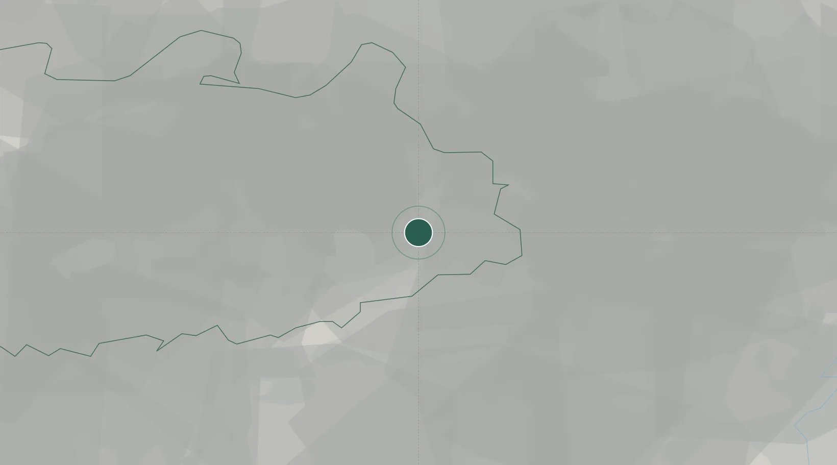
Place type
Populated place
Region
Flanders
Population
32,659
Time zone
Europe/Brussels
Elevation
27 m
Location
Nearby Logistics Neighbours
Cities
- 1Balen4 km
- 2Dessel6 km
- 3Wezel8 km
- 4Hamsehoeven9 km
- 5Meerhout9 km
Airports
- 1Kleine Brogel Air Base26 km
- 2Eindhoven Airport35 km
- 3Kempen Airport Budel36 km
- 4Gilze Rijen Air Base44 km
- 5Antwerp International Airport (Deurne)44 km
Trade Zones
- 1Rheinische Revier SWZ95 km
- 2Freeport of Duisburg108 km
- 3ZFU Maubeuge, Louvroil132 km
- 4ZFU Condé sur lEscaut134 km
- 5ZFU Tourcoing145 km
DatabookThe Record of Consolidated Knowledge
Belgium beyond logistics?