Transport Functions
Port
Road
Hub Profile
Place type
Populated place
Region
Flanders
Time zone
Europe/Brussels
Elevation
30 m
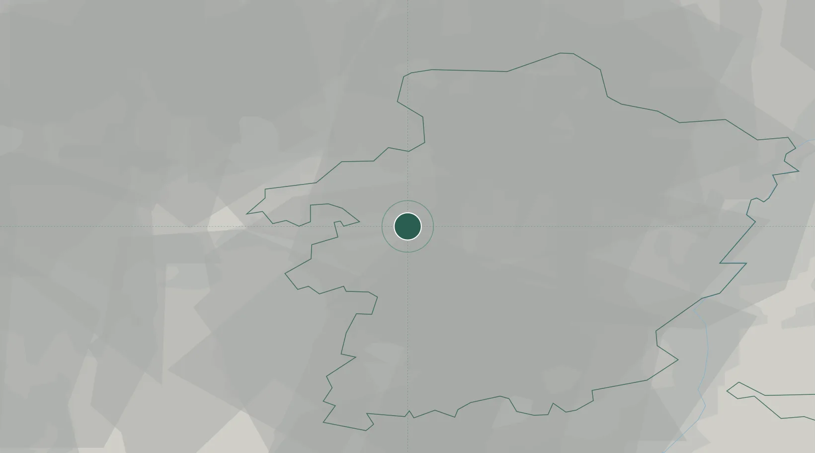
Location
Nearby Logistics Neighbours
Airports
- 1Kleine Brogel Air Base24 km
- 2Kempen Airport Budel37 km
- 3Maastricht Aachen Airport39 km
- 4Beauvechain Air Base43 km
- 5Liège Airport45 km
Trade Zones
- 1Rheinische Revier SWZ81 km
- 2Freeport of Duisburg106 km
- 3ZFU Maubeuge, Louvroil124 km
- 4ZFU Condé sur lEscaut132 km
- 5ZFU Ronde Couture146 km
DatabookThe Record of Consolidated Knowledge
Belgium beyond logistics?