Transport Functions
Port
Rail
Road
Hub Profile
Place type
Populated place
Region
Flanders
Population
915
Time zone
Europe/Brussels
Elevation
4 m
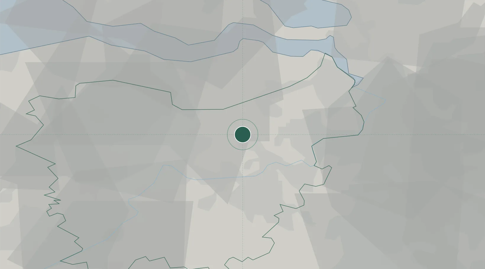
Location
Nearby Logistics Neighbours
Cities
- 1Eksaarde2 km
- 2Lokeren4 km
- 3Moerbeke-Waas5 km
- 4Waasmunster8 km
- 5Zele8 km
Airports
Trade Zones
- 1ZFU Tourcoing74 km
- 2ZFU Hem et Roubaix76 km
- 3ZFU Condé sur lEscaut80 km
- 4ZFU de Lille et de Loos88 km
- 5ZFU Maubeuge, Louvroil97 km
DatabookThe Record of Consolidated Knowledge
Belgium beyond logistics?