Transport Functions
Multimodal
Hub Profile
Place type
Populated place
Region
North Brabant
Population
18,181
Time zone
Europe/Amsterdam
Elevation
33 m
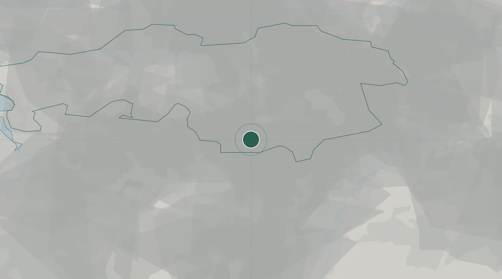
Location
Nearby Logistics Neighbours
Cities
- 1Lommel10 km
- 2Achel12 km
- 3Neerpelt12 km
- 4Overpelt12 km
- 5Stevensvennen14 km
Airports
- 1Eindhoven Airport15 km
- 2Kleine Brogel Air Base19 km
- 3Kempen Airport Budel19 km
- 4Gilze Rijen Air Base40 km
- 5Volkel Air Base45 km
Trade Zones
- 1Rheinische Revier SWZ85 km
- 2Freeport of Duisburg87 km
- 3ZFU Maubeuge, Louvroil154 km
- 4ZFU Condé sur lEscaut156 km
- 5ZFU Tourcoing167 km
DatabookThe Record of Consolidated Knowledge
Netherlands beyond logistics?