Transport Functions
Rail
Road
Hub Profile
Place type
Populated place
Region
Flanders
Time zone
Europe/Brussels
Elevation
43 m
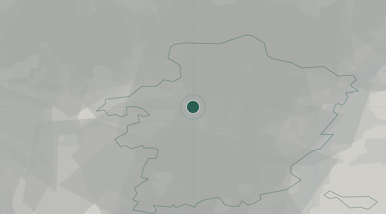
Location
Nearby Logistics Neighbours
Cities
- 1Zolder4 km
- 2Genenbos6 km
- 3Beverlo8 km
- 4Leopoldsburg8 km
- 5Paal8 km
Airports
- 1Kleine Brogel Air Base18 km
- 2Kempen Airport Budel31 km
- 3Maastricht Aachen Airport36 km
- 4Eindhoven Airport45 km
- 5Liège Airport47 km
Trade Zones
- 1Rheinische Revier SWZ77 km
- 2Freeport of Duisburg100 km
- 3ZFU Maubeuge, Louvroil130 km
- 4ZFU Condé sur lEscaut138 km
- 5ZFU Ronde Couture151 km
DatabookThe Record of Consolidated Knowledge
Belgium beyond logistics?