Transport Functions
Port
Road
Hub Profile
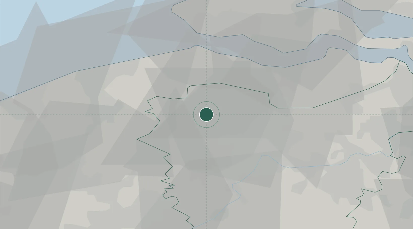
Place type
District seat
Region
Flanders
Population
19,116
Time zone
Europe/Brussels
Elevation
6 m
Location
Nearby Logistics Neighbours
Cities
- 1Balgerhoek4 km
- 2Zomergem8 km
- 3Merendree11 km
- 4Hamme11 km
- 5Knesselaere12 km
Ports
- 1Ghent17 km
- 2Bruges25 km
- 3Terneuzen25 km
- 4Vlissingen30 km
- 5Zeebrugge31 km
Airports
Trade Zones
- 1ZFU Tourcoing59 km
- 2ZFU Hem et Roubaix62 km
- 3ZFU de Lille et de Loos73 km
- 4ZFU Condé sur lEscaut80 km
- 5ZFU Saint Pol sur Mer88 km
DatabookThe Record of Consolidated Knowledge
Belgium beyond logistics?