Transport Functions
Port
Road
Hub Profile
Region
VOV
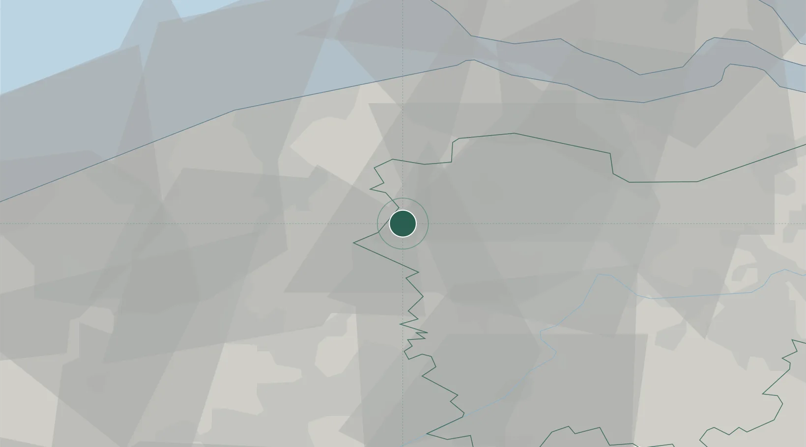
Location
Nearby Logistics Neighbours
Cities
- 1Aalter6 km
- 2Beernem6 km
- 3Zomergem10 km
- 4Hamme10 km
- 5Balgerhoek10 km
Airports
Trade Zones
- 1ZFU Tourcoing49 km
- 2ZFU Hem et Roubaix53 km
- 3ZFU de Lille et de Loos63 km
- 4ZFU Condé sur lEscaut75 km
- 5ZFU Saint Pol sur Mer77 km
DatabookThe Record of Consolidated Knowledge
Belgium beyond logistics?