About
Methodology
Sources
Licensing
English
EN
English
TR
Türkçe
DE
Deutsch
FR
Français
ES
Español
IT
Italiano
PT
Português
NL
Nederlands
PL
Polski
RU
Русский
UK
Українська
CS
Čeština
RO
Română
EL
Ελληνικά
BG
Български
AR
العربية
FA
فارسی
UR
اردو
HI
हिन्दी
BN
বাংলা
ID
Bahasa Indonesia
VI
Tiếng Việt
ZH
中文
JA
日本語
KO
한국어
logibook
/
Countries
/
Belgium
/
Locations
/
Hamme
UN/LOCODE hub ·
Belgium
BE
HMM
Hamme
51.0833°, 3.5333°
3
Transport functions
Transport Functions
Port
Rail
Road
UN/LOCODE
Hub Profile
Place type
Populated place
GeoNames
Region
Flanders
GeoNames
Time zone
Europe/Brussels
GeoNames
Elevation
7 m
GeoNames
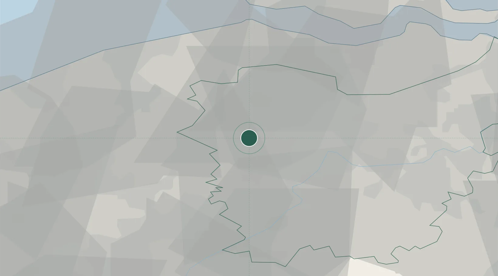
Location
Natural Earth 10m (public domain) · Flanders · BEHMM · 51.08, 3.53
Google ↗
OSM ↗
Yandex ↗
Nearby Logistics Neighbours
Cities
1
Hansbeke
2 km
2
Merendree
4 km
3
Zomergem
4 km
4
Landegem
4 km
5
Nevele
6 km
Nearest neighbours — logibook spatial index (haversine) over the source coordinates
Ports
1
Ghent
14 km
2
Bruges
28 km
3
Terneuzen
36 km
4
Zeebrugge
36 km
5
Vlissingen
41 km
Nearest neighbours — logibook spatial index (haversine) over the source coordinates
Airports
1
Flanders International Airport Kortrijk-Wevelgem
37 km
2
Ostend-Bruges International Airport
48 km
3
Chièvres Air Base
60 km
4
Koksijde Air Base
62 km
5
Lille Airport
65 km
Nearest neighbours — logibook spatial index (haversine) over the source coordinates
Trade Zones
1
ZFU Tourcoing
48 km
2
ZFU Hem et Roubaix
51 km
3
ZFU de Lille et de Loos
62 km
4
ZFU Condé sur lEscaut
69 km
5
ZFU Auby, Flers-en-Escrebieux, Roost-Warendin, Douai, et Waziers
81 km
Nearest neighbours — logibook spatial index (haversine) over the source coordinates
Data
book
The Record of Consolidated Knowledge
Belgium beyond logistics?
Browse databook
→
All Sources
Locations
UN/LOCODE
UN/LOCODE — free
↗
Ports
the NGA World Port Index
Public domain (US gov)
↗
Airports
OurAirports
Public domain
↗
Trade Zones
the World Bank SEZ database
CC BY 4.0
↗
Trade Zones
Open Zone Map
CC BY
↗
← Belgium locations