Transport Functions
Multimodal
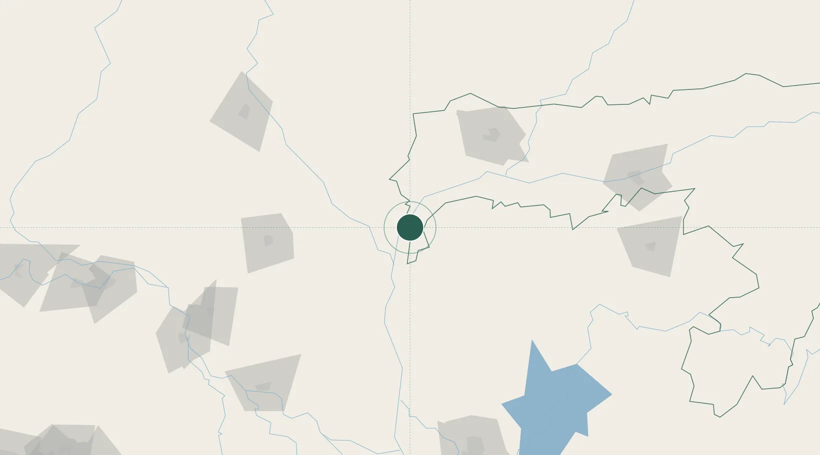
Hub Profile
Place type
Populated place
Region
Mymensingh Division
Time zone
Asia/Dhaka
Elevation
18 m
Location
Nearby Logistics Neighbours
Cities
- 1Lhamoizingkha106 km
- 2Bogura111 km
- 3Kamardwisa Lcs114 km
- 4Changrabandha118 km
- 5Samtse127 km
Ports
- 1Mongla366 km
- 2Calcutta387 km
- 3Chittagong432 km
- 4Haldia Port452 km
- 5Dhamra622 km
Airports
- 1Baljek Airport52 km
- 2Saidpur Airport93 km
- 3Hashimara Air Force Station115 km
- 4Gelephu Airport141 km
- 5Lokpriya Gopinath Bordoloi International Airport180 km
Trade Zones
- 1Kurigram Economic Zone - 121 km
- 2Sherpur Economic Zone82 km
- 3Jamalpur Economic Zone - 292 km
- 4Uttara Export Processing Zone98 km
- 5Jamalpur Economic Zone108 km
DatabookThe Record of Consolidated Knowledge
Bangladesh beyond logistics?