Transport Functions
Multimodal
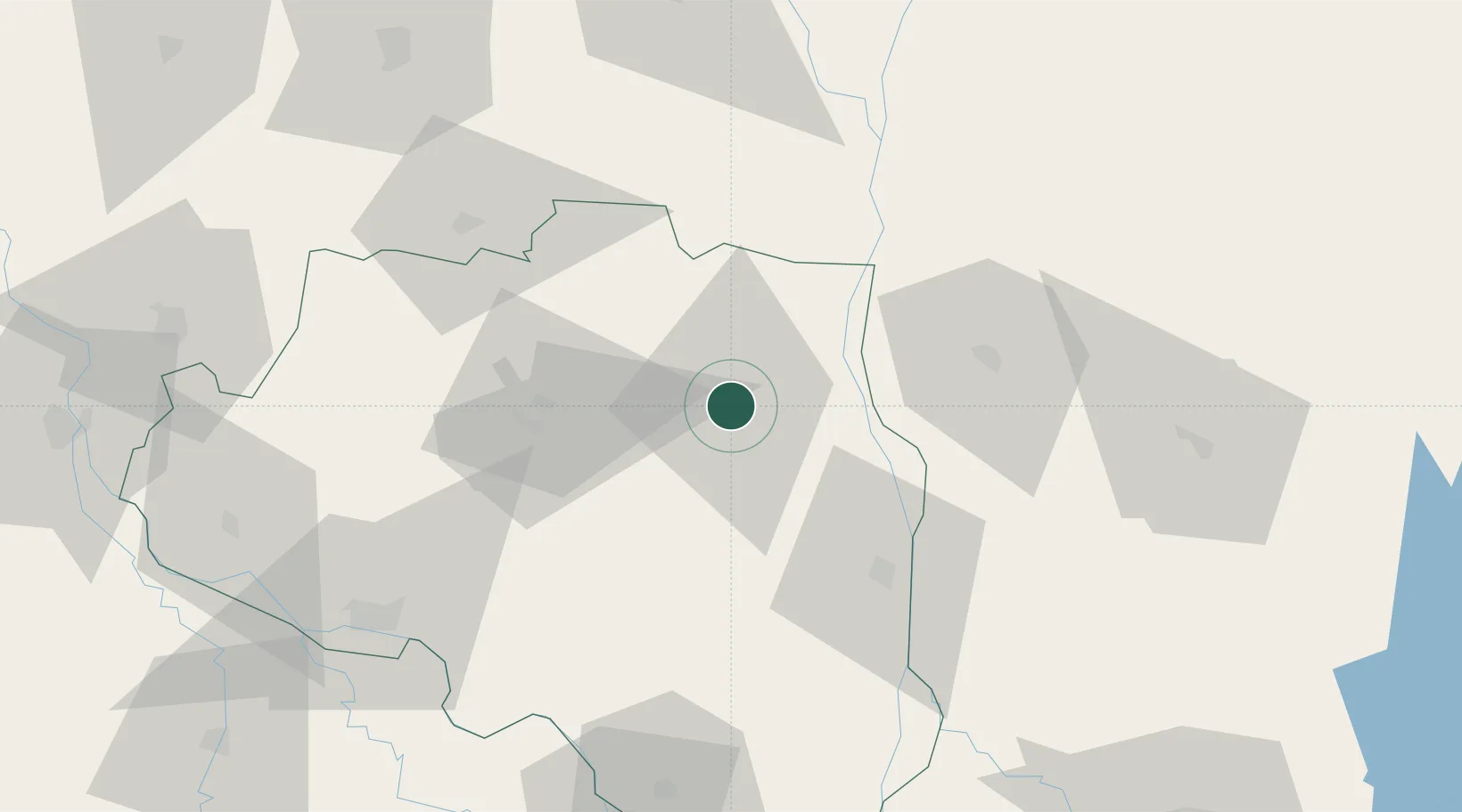
Location
Nearby Logistics Neighbours
Cities
- 1Chuadanga97 km
- 2Kushtia111 km
- 3Savar144 km
- 4Raiganj Railway Station Lcs152 km
- 5Tejgaon160 km
Ports
- 1Mongla266 km
- 2Calcutta277 km
- 3Haldia Port341 km
- 4Chittagong376 km
- 5Dhamra512 km
Airports
- 1Ishurdi Airport84 km
- 2Shah Makhdum Airport89 km
- 3Saidpur Airport111 km
- 4Baljek Airport134 km
- 5Hazrat Shahjalal International Airport153 km
Trade Zones
- 1Bogura Economic Zone - 116 km
- 2Jamalpur Economic Zone57 km
- 3Jamalpur Economic Zone - 258 km
- 4Sirajganj Economic Zone64 km
- 5Sherpur Economic Zone65 km
DatabookThe Record of Consolidated Knowledge
Bangladesh beyond logistics?