Export Processing Zone · Bangladesh

Uttara Export Processing Zone Active
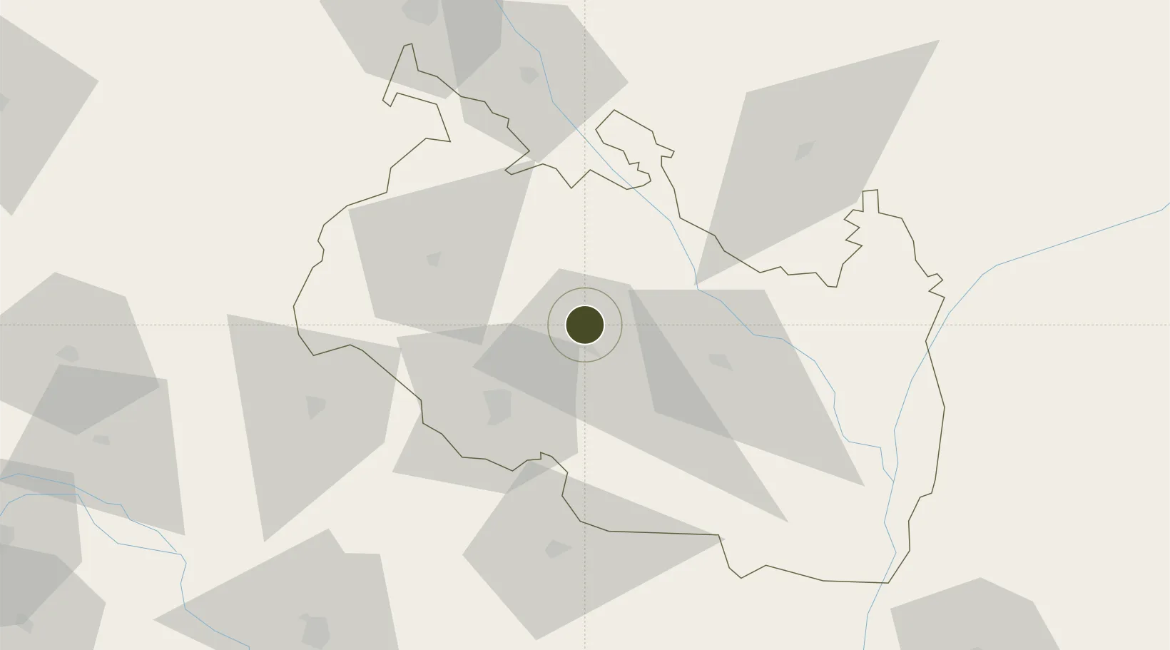
25.8577°, 88.8618°
86 ha
Zone area
371.7 km
Nearest port
11.9 km
Nearest airport

Gateway access

Nearest neighbours — logibook spatial index (haversine) over the source coordinates

Zone profile

Zone type
Export Processing Zone
the World Bank SEZ database
Region
Rangpur
the World Bank SEZ database
Status
Active
the World Bank SEZ database
Established
2001
the World Bank SEZ database
Management
Public agency
the World Bank SEZ database
Operator
BEPZA
the World Bank SEZ database
Regulatory authority
Bangladesh Export Processing Zones Authority (BEPZA)
the World Bank SEZ database
Legal framework
Bangladesh Export Processing Zone Act
the World Bank SEZ database

Location

Location of BGD8
Natural Earth 10m (public domain) · Rangpur · BGD8 · 25.86, 88.86GoogleOSMYandex

Fiscal & incentives

Corporate tax
25%
the World Bank SEZ database
Tax relief
100% exempt
the World Bank SEZ database
Relief duration
3 years
the World Bank SEZ database
VAT
No exemption
the World Bank SEZ database
Import duty (inputs)
100% exempt
the World Bank SEZ database
Import duty (capex)
100% exempt
the World Bank SEZ database
Profit repatriation
100% exempt from repatriation tax on capital and dividends
the World Bank SEZ database
Capital gains
No exemption
the World Bank SEZ database
Withholding tax
100% exempt from dividend tax
the World Bank SEZ database
Min. investment
None
the World Bank SEZ database
Min. export
90%
the World Bank SEZ database
Employment incentive
No exemption
the World Bank SEZ database
Developer incentive
No established framework
the World Bank SEZ database

Nearby Logistics Neighbours

Ports
  1. 1Calcutta372 km
  2. 2Mongla384 km
  3. 3Haldia Port434 km
  4. 4Chittagong495 km
  5. 5Dhamra593 km
Nearest neighbours — logibook spatial index (haversine) over the source coordinates
Airports
  1. 1Saidpur Airport12 km
  2. 2Bagdogra Airport106 km
  3. 3Hashimara Air Force Station106 km
  4. 4Bhadrapur Airport111 km
  5. 5Baljek Airport150 km
Nearest neighbours — logibook spatial index (haversine) over the source coordinates
Cities
  1. 1Changrabandha62 km
  2. 2Birpara Lcs74 km
  3. 3Loksan Lcs75 km
  4. 4Raiganj Railway Station Lcs79 km
  5. 5Kushtia98 km
Nearest neighbours — logibook spatial index (haversine) over the source coordinates
Trade Zones
  1. 1Nilphamari Economic Zone17 km
  2. 2Dinajpur Economic Zone18 km
  3. 3Debiganj Economic Zone: Sujon31 km
  4. 4Panchagarh Economic Zone32 km
  5. 5Kurigram Economic Zone - 178 km
Nearest neighbours — logibook spatial index (haversine) over the source coordinates
DatabookThe Record of Consolidated Knowledge
Bangladesh beyond logistics?
Browse databook

All Sources

Trade Zonesthe World Bank SEZ database
CC BY 4.0
Portsthe NGA World Port Index
Public domain (US gov)
AirportsOurAirports
Public domain
LocationsUN/LOCODE
UN/LOCODE — free
← Bangladesh trade zones