Transport Functions
Rail
Road
Border Crossing
Hub Profile
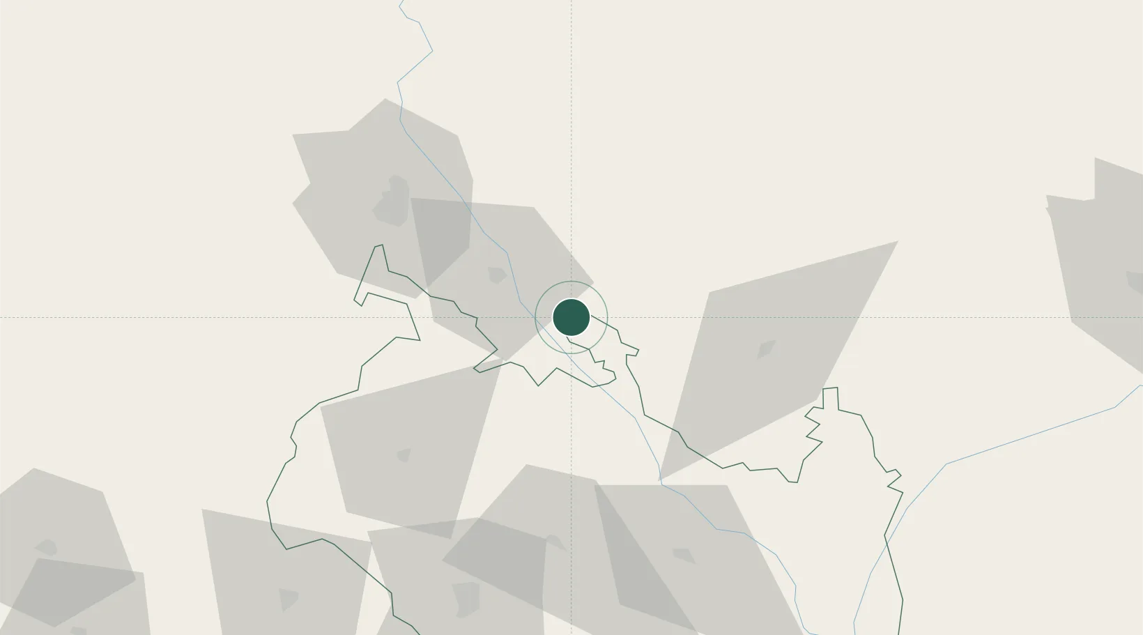
Place type
Populated place
Region
West Bengal
Time zone
Asia/Kolkata
Elevation
73 m
Location
Nearby Logistics Neighbours
Cities
- 1Birpara Lcs21 km
- 2Loksan Lcs23 km
- 3Pendenling50 km
- 4Nyonpaling54 km
- 5Nagarkata Lcs54 km
Ports
- 1Calcutta434 km
- 2Mongla445 km
- 3Haldia Port497 km
- 4Chittagong542 km
- 5Dhamra654 km
Airports
- 1Hashimara Air Force Station55 km
- 2Bagdogra Airport66 km
- 3Saidpur Airport73 km
- 4Bhadrapur Airport85 km
- 5Paro International Airport121 km
Trade Zones
DatabookThe Record of Consolidated Knowledge
India beyond logistics?