UN/LOCODE hub · Bosnia & Herzegovina
BATZL
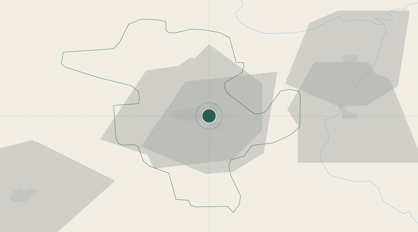
Tuzla
44.5333°, 18.6667°
142,486
Population
3
Transport functions
Transport Functions
Rail
Road
Airport
Hub Profile
Place type
Provincial seat
Region
Federation of B&H
Population
142,486
Time zone
Europe/Sarajevo
Elevation
225 m
Location
Nearby Logistics Neighbours
Cities
- 1Zvornik38 km
- 2Mali Zvornik38 km
- 3Brcko39 km
- 4Loznica44 km
- 5Maglaj46 km
Airports
- 1Tuzla International Airport9 km
- 2Sarajevo International Airport83 km
- 3Osijek Airport104 km
- 4Ponikve Airport108 km
- 5Banja Luka International Airport117 km
Trade Zones
- 1Free Zone Holc, Lukavac13 km
- 2ō abac Free Zone59 km
- 3Free Zone Visoko72 km
- 4Free Zone Vogošća74 km
- 5Duro Daković Free Zone88 km
DatabookThe Record of Consolidated Knowledge
Bosnia & Herzegovina beyond logistics?