Transport Functions
Multimodal
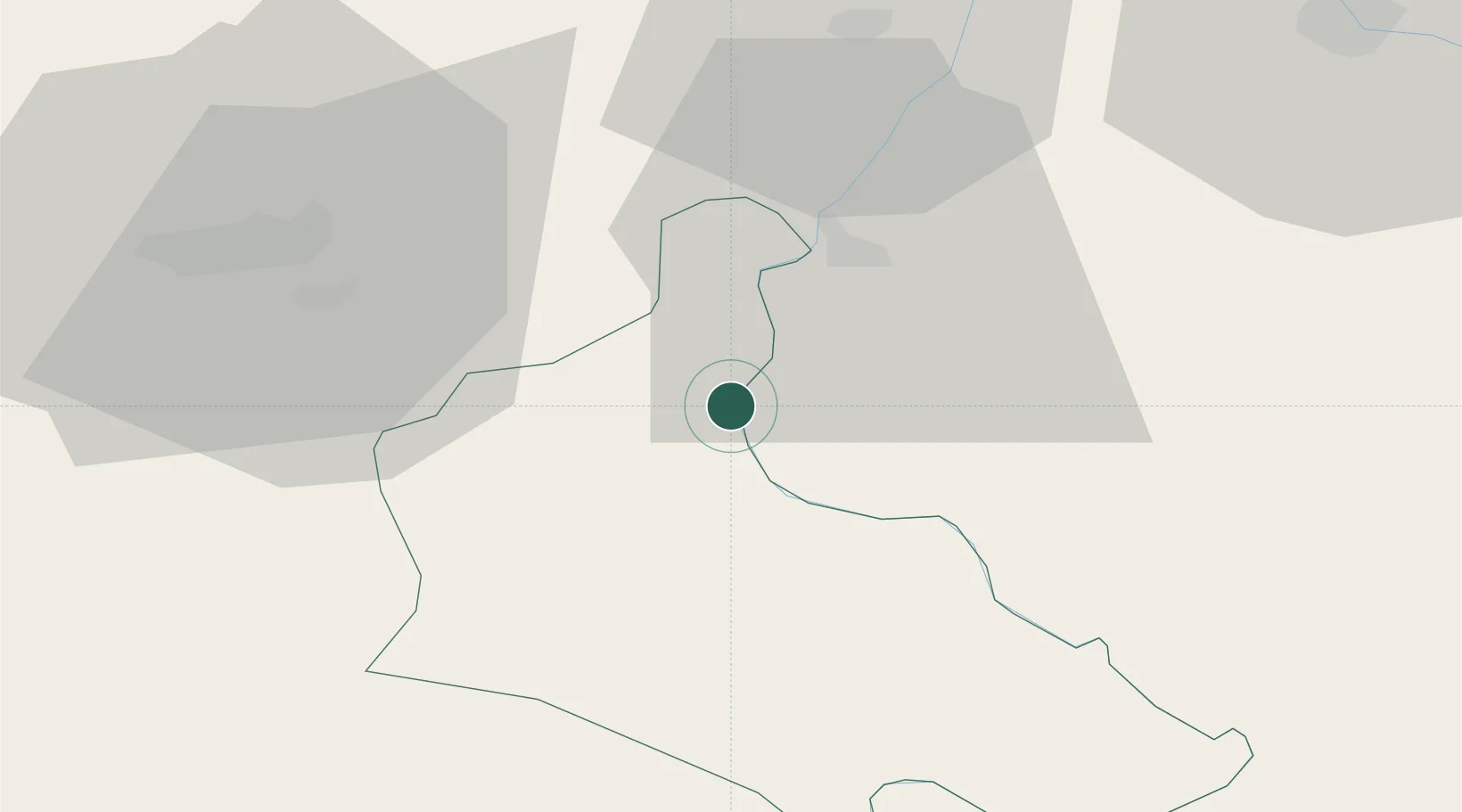
Hub Profile
Place type
District seat
Region
Central Serbia
Population
4
Time zone
Europe/Belgrade
Elevation
166 m
Location
Nearby Logistics Neighbours
Airports
- 1Tuzla International Airport31 km
- 2Ponikve Airport72 km
- 3Sarajevo International Airport87 km
- 4Belgrade Nikola Tesla Airport107 km
- 5Batajnica Air Base110 km
Trade Zones
- 1ō abac Free Zone26 km
- 2Free Zone Holc, Lukavac50 km
- 3Free Zone Vogošća80 km
- 4Free Zone Visoko86 km
- 5Uō¾ice Free Zone88 km
DatabookThe Record of Consolidated Knowledge
Serbia beyond logistics?