UN/LOCODE hub · Bosnia & Herzegovina
BABKO
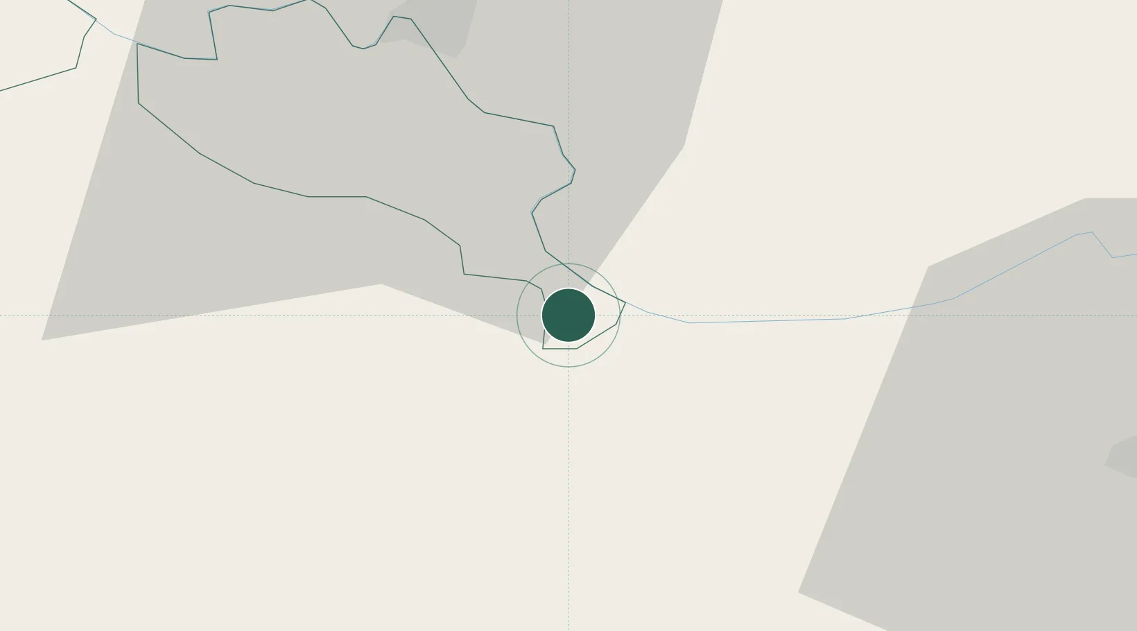
Brcko
44.8667°, 18.8000°
38,968
Population
2
Transport functions
Transport Functions
Rail
Road
Hub Profile
Place type
Regional capital
Region
Brčko
Population
38,968
Time zone
Europe/Sarajevo
Elevation
92 m
Location
Nearby Logistics Neighbours
Cities
- 1Orasje20 km
- 2Zupanja24 km
- 3Domaljevac27 km
- 4Bijeljina34 km
- 5Tuzla39 km
Airports
- 1Tuzla International Airport46 km
- 2Osijek Airport66 km
- 3Batajnica Air Base115 km
- 4Banja Luka International Airport119 km
- 5Belgrade Nikola Tesla Airport119 km
Trade Zones
- 1Free Zone Holc, Lukavac43 km
- 2Podunavska Gospodarska Zona Vukovar55 km
- 3Osijek Free Zone58 km
- 4ō abac Free Zone65 km
- 5Duro Daković Free Zone71 km
DatabookThe Record of Consolidated Knowledge
Bosnia & Herzegovina beyond logistics?