Transport Functions
Rail
Road
Hub Profile
Place type
District seat
Region
Central Serbia
Population
19,515
Time zone
Europe/Belgrade
Elevation
182 m
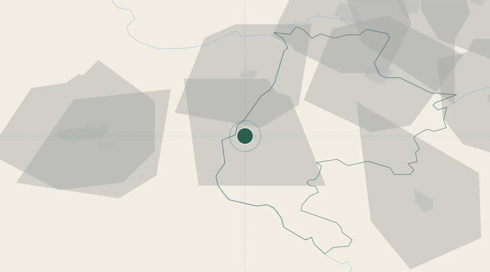
Location
Nearby Logistics Neighbours
Cities
- 1Zvornik19 km
- 2Mali Zvornik19 km
- 3Bijeljina24 km
- 4Tuzla44 km
- 5Sabac44 km
Airports
- 1Tuzla International Airport40 km
- 2Ponikve Airport80 km
- 3Belgrade Nikola Tesla Airport92 km
- 4Batajnica Air Base94 km
- 5Sarajevo International Airport106 km
Trade Zones
- 1ō abac Free Zone17 km
- 2Free Zone Holc, Lukavac56 km
- 3Podunavska Gospodarska Zona Vukovar92 km
- 4Uō¾ice Free Zone94 km
- 5Novi Sad Free Zone96 km
DatabookThe Record of Consolidated Knowledge
Serbia beyond logistics?