UN/LOCODE hub · Australia
AUYAN

Yagoona

-33.9000°, 151.0167°
17,908
Population
2
Transport functions

Transport Functions

Road
Multimodal
UN/LOCODE

Hub Profile

Place type
Urban district
GeoNames
Region
New South Wales
GeoNames
Population
17,908
GeoNames
Time zone
Australia/Sydney
GeoNames
Elevation
49 m
GeoNames

Location

Location of AUYAN
Natural Earth 10m (public domain) · New South Wales · AUYAN · -33.90, 151.02GoogleOSMYandex

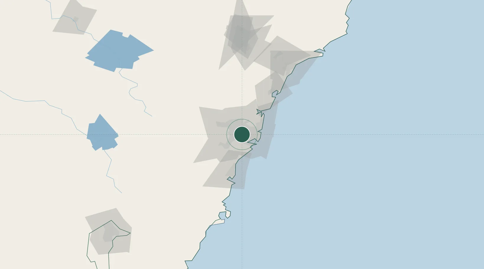
Nearby Logistics Neighbours

Cities
  1. 1Sefton2 km
  2. 2Sydney3 km
  3. 3Chullora3 km
  4. 4Chester Hill4 km
  5. 5Padstow6 km
Nearest neighbours — logibook spatial index (haversine) over the source coordinates
Ports
  1. 1Sydney17 km
  2. 2Botany Bay23 km
  3. 3Port Kembla66 km
  4. 4Newcastle131 km
  5. 5Jervis Bay137 km
Nearest neighbours — logibook spatial index (haversine) over the source coordinates
Airports
  1. 1Sydney Bankstown Airport4 km
  2. 2Sydney Kingsford Smith International Airport16 km
  3. 3Camden Airport34 km
  4. 4RAAF Base Richmond39 km
  5. 5Palm Beach Seaplane Base45 km
Nearest neighbours — logibook spatial index (haversine) over the source coordinates
Trade Zones
  1. 1Latrobe Valley Economic Growth Zone636 km
  2. 2Hicks Bay Area Special Economic Zone2473 km
  3. 3Vanuatu Economic Development Zone2609 km
  4. 4Paga Hill Estate Special Economic Zone2744 km
  5. 5Tulagi Island Special Economic Zone2911 km
Nearest neighbours — logibook spatial index (haversine) over the source coordinates
DatabookThe Record of Consolidated Knowledge
Australia beyond logistics?
Browse databook

All Sources

LocationsUN/LOCODE
UN/LOCODE — free
LocationsGeoNames
CC BY 4.0
Portsthe NGA World Port Index
Public domain (US gov)
AirportsOurAirports
Public domain
Trade Zonesthe World Bank SEZ database
CC BY 4.0
Trade ZonesOpen Zone Map
CC BY
← Australia locations