UN/LOCODE hub · Australia
AUSYD
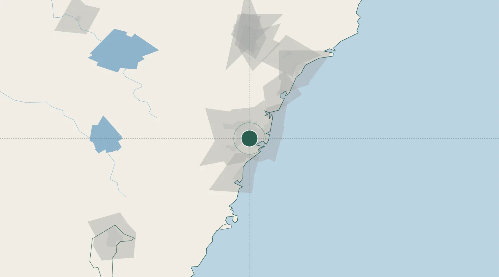
Sydney
-33.9243°, 151.0138°
5,557,233
Population
5
Transport functions
3
Container terminals
Transport Functions
Port
Rail
Road
Airport
Postal
Hub Profile
Place type
Regional capital
Region
New South Wales
Population
5,557,233
Time zone
Australia/Sydney
Elevation
58 m
Logistics facilities
107
Container terminals
3
Location
Nearby Logistics Neighbours
Ports
- 1Botany Bay22 km
- 2Port Kembla63 km
- 3Newcastle133 km
- 4Jervis Bay134 km
- 5Batemans Bay212 km
Airports
Trade Zones
DatabookThe Record of Consolidated Knowledge
Australia beyond logistics?