UN/LOCODE hub · Australia
AUATL
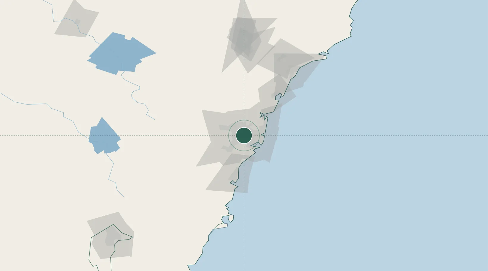
Chester Hill
-33.8667°, 151.0000°
12,765
Population
1
Transport functions
Transport Functions
Multimodal
Hub Profile
Place type
Urban district
Region
New South Wales
Population
12,765
Time zone
Australia/Sydney
Elevation
46 m
Location
Nearby Logistics Neighbours
Ports
- 1Sydney19 km
- 2Botany Bay26 km
- 3Port Kembla69 km
- 4Newcastle128 km
- 5Jervis Bay140 km
Airports
Trade Zones
DatabookThe Record of Consolidated Knowledge
Australia beyond logistics?