Transport Functions
Rail
Road
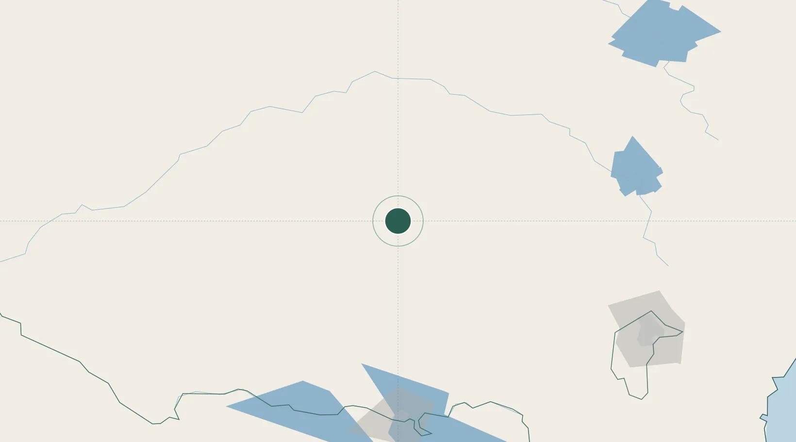
Hub Profile
Place type
Populated place
Region
New South Wales
Population
508
Time zone
Australia/Sydney
Elevation
200 m
Location
Nearby Logistics Neighbours
Cities
- 1Beckom6 km
- 2Barellan31 km
- 3Grong Grong46 km
- 4Matong46 km
- 5Ganmain52 km
Ports
- 1Batemans Bay333 km
- 2Jervis Bay366 km
- 3Port Kembla369 km
- 4Sydney400 km
- 5Botany Bay401 km
Airports
- 1Narrandera Airport53 km
- 2West Wyalong Airport53 km
- 3Temora Airport57 km
- 4Griffith Airport77 km
- 5Wagga Wagga Airport104 km
Trade Zones
DatabookThe Record of Consolidated Knowledge
Australia beyond logistics?