Transport Functions
Rail
Road
Hub Profile
Place type
Populated place
Region
New South Wales
Population
535
Time zone
Australia/Sydney
Elevation
158 m
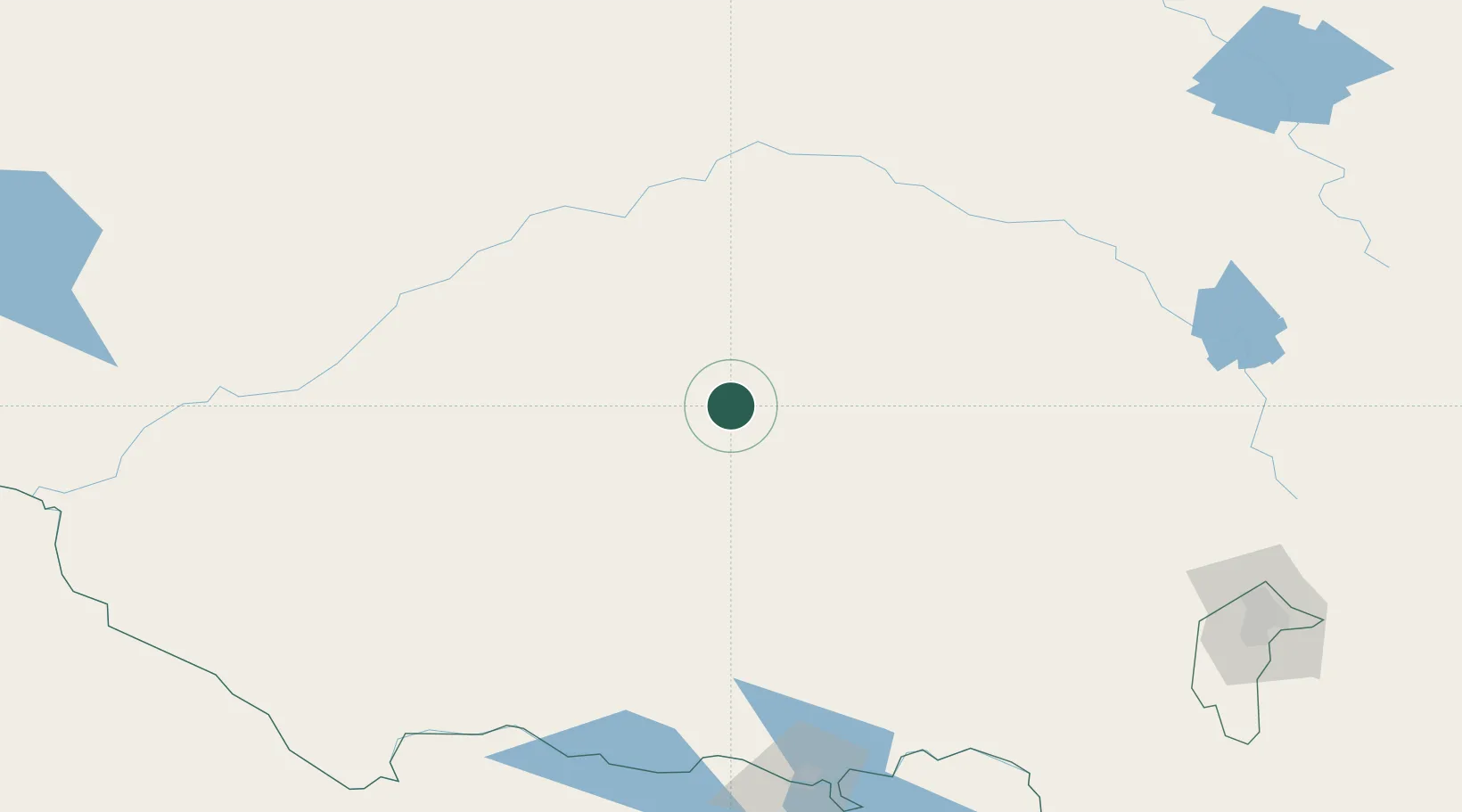
Location
Nearby Logistics Neighbours
Ports
- 1Batemans Bay363 km
- 2Jervis Bay397 km
- 3Port Kembla400 km
- 4Melbourne418 km
- 5Sydney429 km
Airports
- 1Narrandera Airport45 km
- 2Griffith Airport46 km
- 3West Wyalong Airport70 km
- 4Temora Airport88 km
- 5Wagga Wagga Airport127 km
Trade Zones
DatabookThe Record of Consolidated Knowledge
Australia beyond logistics?