Transport Functions
Rail
Road
Hub Profile
Place type
Populated place
Region
New South Wales
Population
120
Time zone
Australia/Sydney
Elevation
215 m
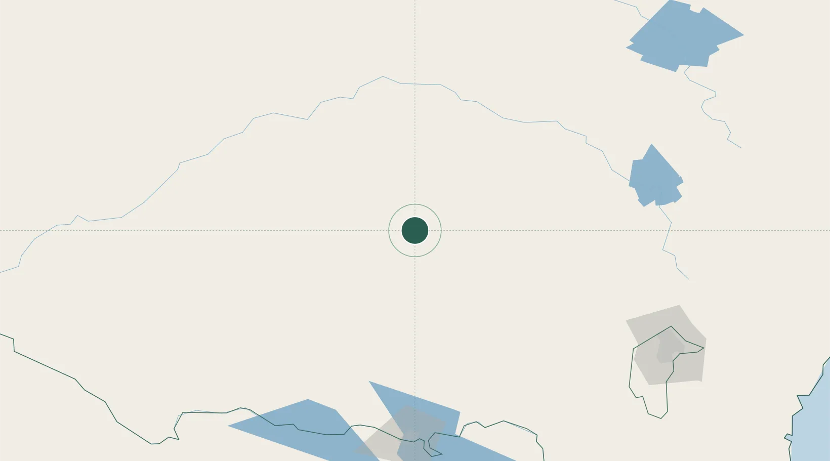
Location
Nearby Logistics Neighbours
Cities
- 1Ardlethan6 km
- 2Barellan37 km
- 3Matong48 km
- 4Grong Grong49 km
- 5Wyalong52 km
Ports
- 1Batemans Bay329 km
- 2Jervis Bay361 km
- 3Port Kembla363 km
- 4Sydney393 km
- 5Botany Bay394 km
Airports
- 1West Wyalong Airport49 km
- 2Temora Airport51 km
- 3Narrandera Airport59 km
- 4Griffith Airport83 km
- 5Wagga Wagga Airport103 km
Trade Zones
DatabookThe Record of Consolidated Knowledge
Australia beyond logistics?