Transport Functions
Port
Rail
Road
Hub Profile
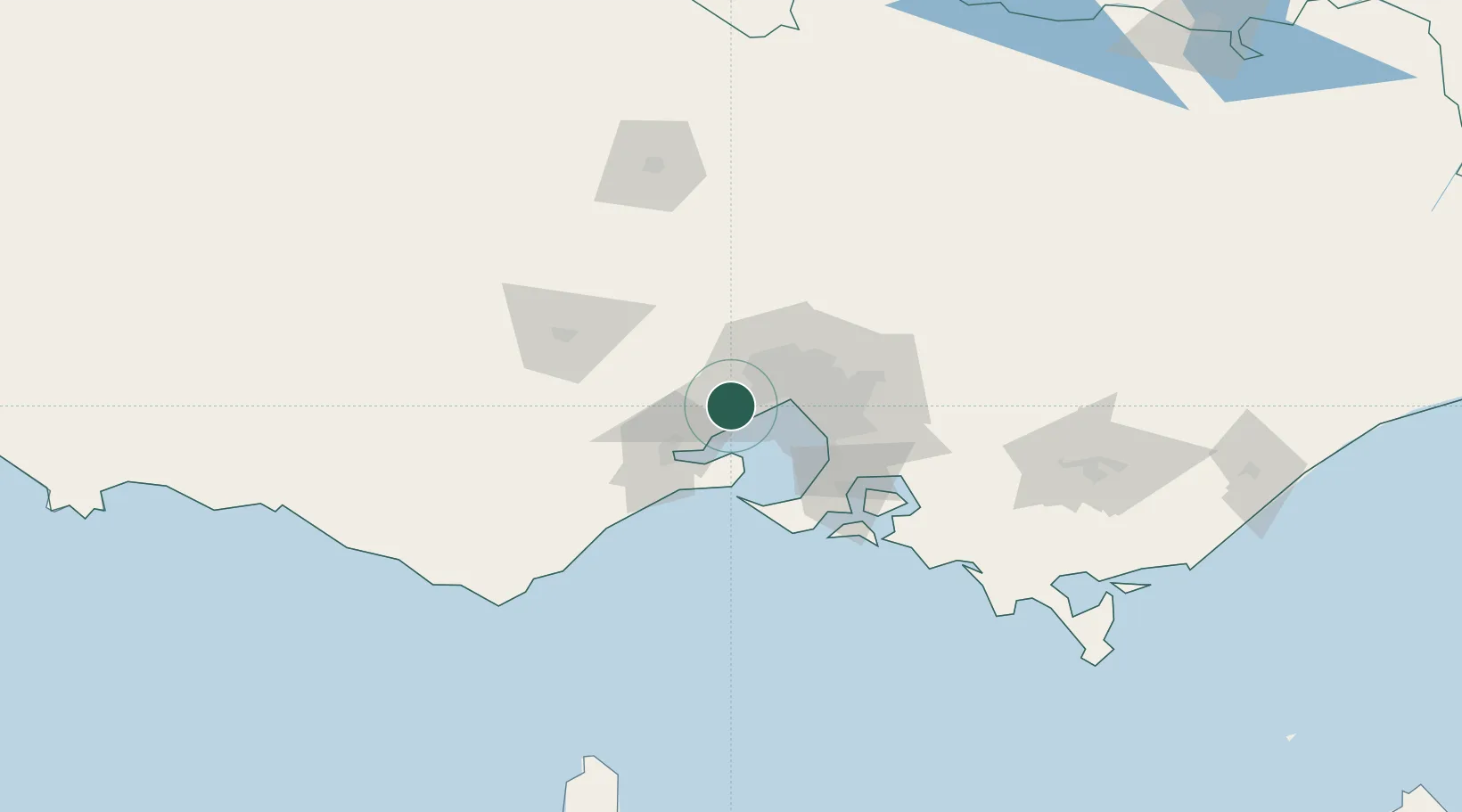
Place type
Urban district
Region
Victoria
Population
50,027
Time zone
Australia/Melbourne
Elevation
27 m
Location
Nearby Logistics Neighbours
Cities
- 1Hoppers Crossing5 km
- 2Little River15 km
- 3Seaholme17 km
- 4Altona North19 km
- 5Brooklyn19 km
Ports
- 1Melbourne29 km
- 2Geelong37 km
- 3Western Port72 km
- 4Welshpool182 km
- 5Warrnambool197 km
Airports
- 1Melbourne Avalon International Airport22 km
- 2Melbourne Essendon Airport29 km
- 3Melbourne Airport30 km
- 4Melbourne Moorabbin Airport40 km
- 5Bendigo Airport132 km
Trade Zones
DatabookThe Record of Consolidated Knowledge
Australia beyond logistics?