UN/LOCODE hub · Australia
AUHCG
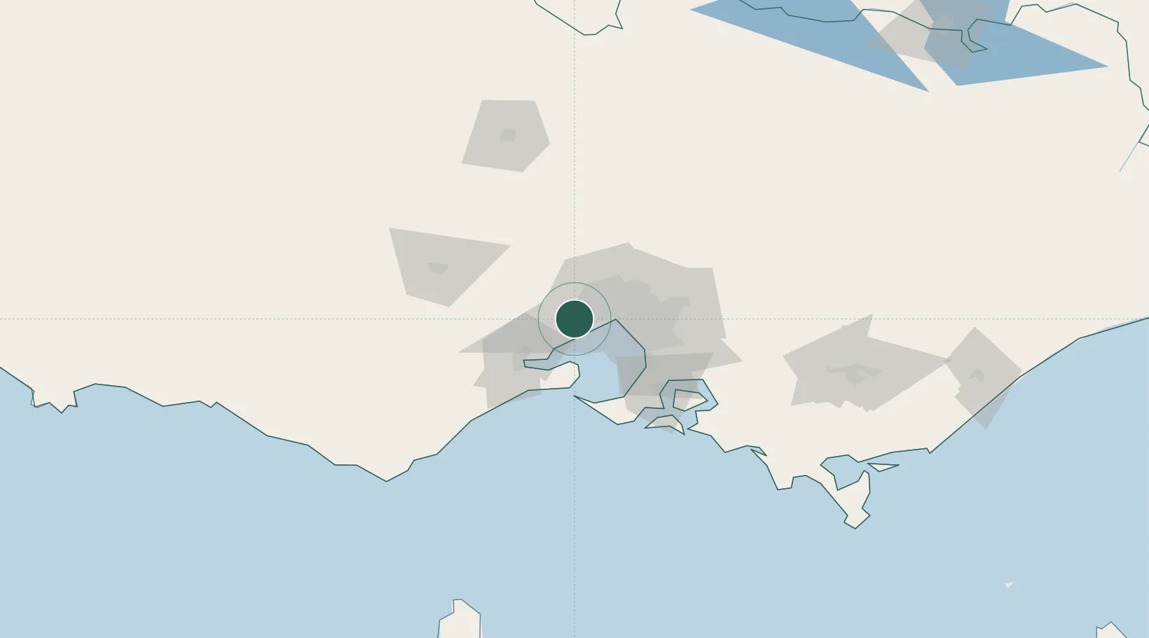
Hoppers Crossing
-37.8667°, 144.6833°
37,216
Population
2
Transport functions
Transport Functions
Rail
Road
Hub Profile
Place type
Urban district
Region
Victoria
Population
37,216
Time zone
Australia/Melbourne
Elevation
30 m
Location
Nearby Logistics Neighbours
Cities
- 1Werribee5 km
- 2Seaholme13 km
- 3Altona North14 km
- 4Brooklyn14 km
- 5Maidstone17 km
Ports
- 1Melbourne25 km
- 2Geelong42 km
- 3Western Port72 km
- 4Welshpool181 km
- 5Warrnambool201 km
Airports
- 1Melbourne Essendon Airport25 km
- 2Melbourne Airport26 km
- 3Melbourne Avalon International Airport27 km
- 4Melbourne Moorabbin Airport39 km
- 5Bendigo Airport129 km
Trade Zones
DatabookThe Record of Consolidated Knowledge
Australia beyond logistics?