UN/LOCODE hub · Australia
AUULA

Ulladulla

-35.3500°, 150.4167°
6,468
Population
1
Transport functions

Transport Functions

Port
UN/LOCODE

Hub Profile

Place type
Populated place
GeoNames
Region
New South Wales
GeoNames
Population
6,468
GeoNames
Time zone
Australia/Sydney
GeoNames
Elevation
32 m
GeoNames

Location

Location of AUULA
Natural Earth 10m (public domain) · New South Wales · AUULA · -35.35, 150.42GoogleOSMYandex

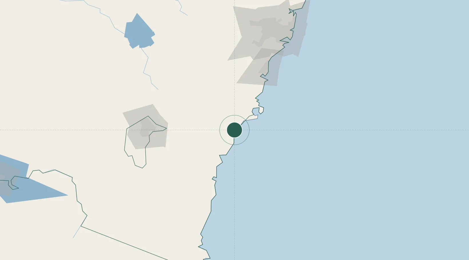
Nearby Logistics Neighbours

Cities
  1. 1Bomaderry59 km
  2. 2Tarago76 km
  3. 3Moss Vale89 km
  4. 4Oak Flats96 km
  5. 5Norwood98 km
Nearest neighbours — logibook spatial index (haversine) over the source coordinates
Ports
  1. 1Jervis Bay43 km
  2. 2Batemans Bay45 km
  3. 3Port Kembla107 km
  4. 4Botany Bay168 km
  5. 5Sydney180 km
Nearest neighbours — logibook spatial index (haversine) over the source coordinates
Airports
  1. 1Naval Air Station Nowra - HMAS Albatross46 km
  2. 2Moruya Airport66 km
  3. 3Goulburn Airport87 km
  4. 4Shellharbour Airport94 km
  5. 5Gundaroo Airport111 km
Nearest neighbours — logibook spatial index (haversine) over the source coordinates
Trade Zones
  1. 1Latrobe Valley Economic Growth Zone481 km
  2. 2Hicks Bay Area Special Economic Zone2482 km
  3. 3Vanuatu Economic Development Zone2765 km
  4. 4Paga Hill Estate Special Economic Zone2895 km
  5. 5Tulagi Island Special Economic Zone3081 km
Nearest neighbours — logibook spatial index (haversine) over the source coordinates
DatabookThe Record of Consolidated Knowledge
Australia beyond logistics?
Browse databook

All Sources

LocationsUN/LOCODE
UN/LOCODE — free
LocationsGeoNames
CC BY 4.0
Portsthe NGA World Port Index
Public domain (US gov)
AirportsOurAirports
Public domain
Trade Zonesthe World Bank SEZ database
CC BY 4.0
Trade ZonesOpen Zone Map
CC BY
← Australia locations