Transport Functions
Port
Road
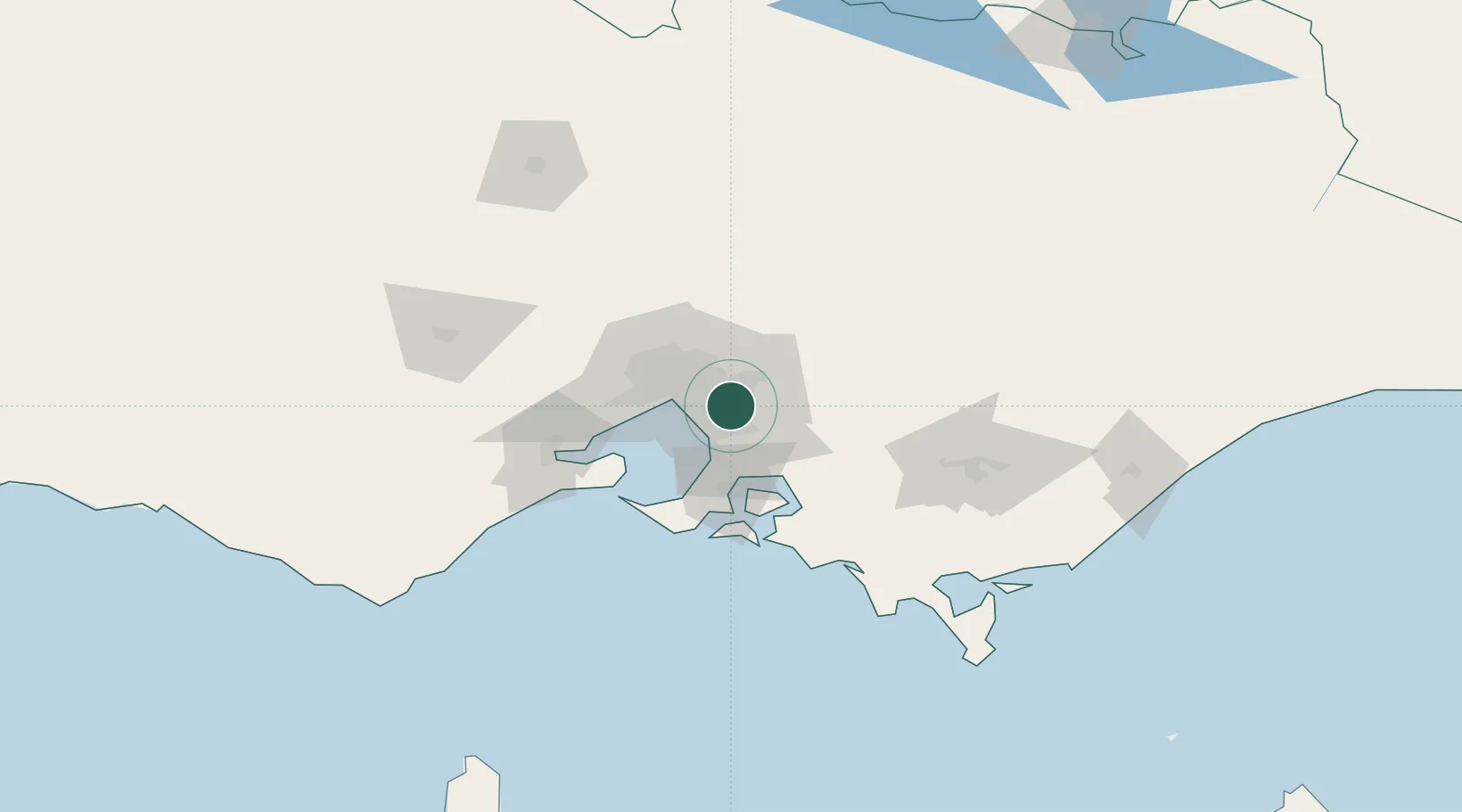
Hub Profile
Place type
Urban district
Region
Victoria
Population
6,066
Time zone
Australia/Melbourne
Elevation
66 m
Location
Nearby Logistics Neighbours
Cities
- 1Glen Waverley5 km
- 2Mount Waverly8 km
- 3Vermont8 km
- 4Heathmont8 km
- 5Notting Hill9 km
Ports
- 1Melbourne23 km
- 2Western Port50 km
- 3Geelong80 km
- 4Welshpool141 km
- 5Warrnambool245 km
Airports
Trade Zones
DatabookThe Record of Consolidated Knowledge
Australia beyond logistics?